File:Slupský creek in Vitanovice, sign.jpg
Size of this preview: 800 × 565 pixels. Other resolutions: 320 × 226 pixels | 640 × 452 pixels | 1,024 × 723 pixels | 1,280 × 903 pixels | 2,560 × 1,807 pixels | 4,169 × 2,942 pixels.
Original file (4,169 × 2,942 pixels, file size: 2.83 MB, MIME type: image/jpeg)
File information
Structured data
Captions
Summary edit
DescriptionSlupský creek in Vitanovice, sign.jpg |
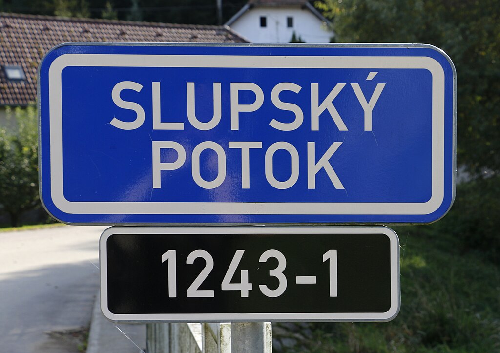
Čeština: Slupský potok ve Vitanovicích, části Slapska
English: Slupský creek in Vitanovice, part of Slapsko, Czech Republic. |
||
Date | |||
Source |
Own work This file is licensed under the Creative Commons Attribution-Share Alike 4.0 International license. Attribution: Pavel Hrdlička, Wikipedia
This file was uploaded with VicuñaUploader. |
||
Author | Pavel Hrdlička (Czech Wikipedia user Packa) | ||
Permission (Reusing this file) |
Čeština: Tento soubor je uvolněný pod licencí Creative Commons BY-SA. Stručně: Můžete jej použít k jakémukoli účelu, pokud uvedete autora: Pavel Hrdlička, Wikipedie. Výsledné dílo musíte uvolnit také pod touto licencí.
English: This file is available under Creative Commons BY-SA license. Basically: You can use this picture for any purpose, provided that you attribute it to Pavel Hrdlička, Wikipedia. You may distribute the resulting work under the same license. |
Camera location | 49° 35′ 08.62″ N, 14° 45′ 42.69″ E | View this and other nearby images on: OpenStreetMap | 49.585728; 14.761858 |
---|
File history
Click on a date/time to view the file as it appeared at that time.
Date/Time | Thumbnail | Dimensions | User | Comment | |
---|---|---|---|---|---|
current | 22:47, 12 October 2023 | 4,169 × 2,942 (2.83 MB) | Packa (talk | contribs) | VicuñaUploader 1.3.3a |
You cannot overwrite this file.
File usage on Commons
The following 2 pages use this file:
File usage on other wikis
The following other wikis use this file:
- Usage on www.wikidata.org
Metadata
This file contains additional information such as Exif metadata which may have been added by the digital camera, scanner, or software program used to create or digitize it. If the file has been modified from its original state, some details such as the timestamp may not fully reflect those of the original file. The timestamp is only as accurate as the clock in the camera, and it may be completely wrong.
Image title | |
---|---|
Camera manufacturer | Canon |
Camera model | Canon EOS 70D |
Author | |
Copyright holder | |
Exposure time | 1/125 sec (0.008) |
F-number | f/7.1 |
ISO speed rating | 100 |
Date and time of data generation | 14:23, 11 October 2023 |
Lens focal length | 35 mm |
Latitude | 49° 35′ 8.62″ N |
Longitude | 14° 45′ 42.69″ E |
Altitude | 482.1 meters above sea level |
Orientation | Normal |
Horizontal resolution | 72 dpi |
Vertical resolution | 72 dpi |
Software used | GIMP 2.10.34 |
File change date and time | 13:11, 12 October 2023 |
White point chromaticity |
|
Chromaticities of primarities |
|
Color space transformation matrix coefficients |
|
Y and C positioning | Co-sited |
Exposure Program | Normal program |
Exif version | 2.3 |
Date and time of digitizing | 14:23, 11 October 2023 |
Meaning of each component |
|
APEX shutter speed | 7 |
APEX aperture | 5.625 |
APEX exposure bias | −0.33333333333333 |
Metering mode | Pattern |
Flash | Flash did not fire |
DateTime subseconds | 64 |
DateTimeOriginal subseconds | 64 |
DateTimeDigitized subseconds | 64 |
Supported Flashpix version | 1 |
Color space | 2 |
Focal plane X resolution | 6,086.7630700779 |
Focal plane Y resolution | 6,090.1502504174 |
Focal plane resolution unit | inches |
Custom image processing | Normal process |
Exposure mode | Auto exposure |
White balance | Auto white balance |
Scene capture type | Standard |
GPS time (atomic clock) | 12:22 |
Satellites used for measurement | 12 |
Receiver status | Measurement in progress |
Measurement mode | 3-dimensional measurement |
Measurement precision | Poor (10.7) |
Geodetic survey data used | WGS-84 |
GPS date | 11 October 2023 |
GPS tag version | 0.0.3.2 |