File:Smolensk VM1.jpg

Size of this preview: 800 × 497 pixels. Other resolutions: 320 × 199 pixels | 640 × 397 pixels | 1,024 × 636 pixels | 1,280 × 795 pixels | 2,560 × 1,590 pixels | 3,775 × 2,344 pixels.
Original file (3,775 × 2,344 pixels, file size: 9.27 MB, MIME type: image/jpeg)
Captions
Captions
Add a one-line explanation of what this file represents
Summary
edit
| Camera location | | View this and other nearby images on: OpenStreetMap |
|---|
| Description |
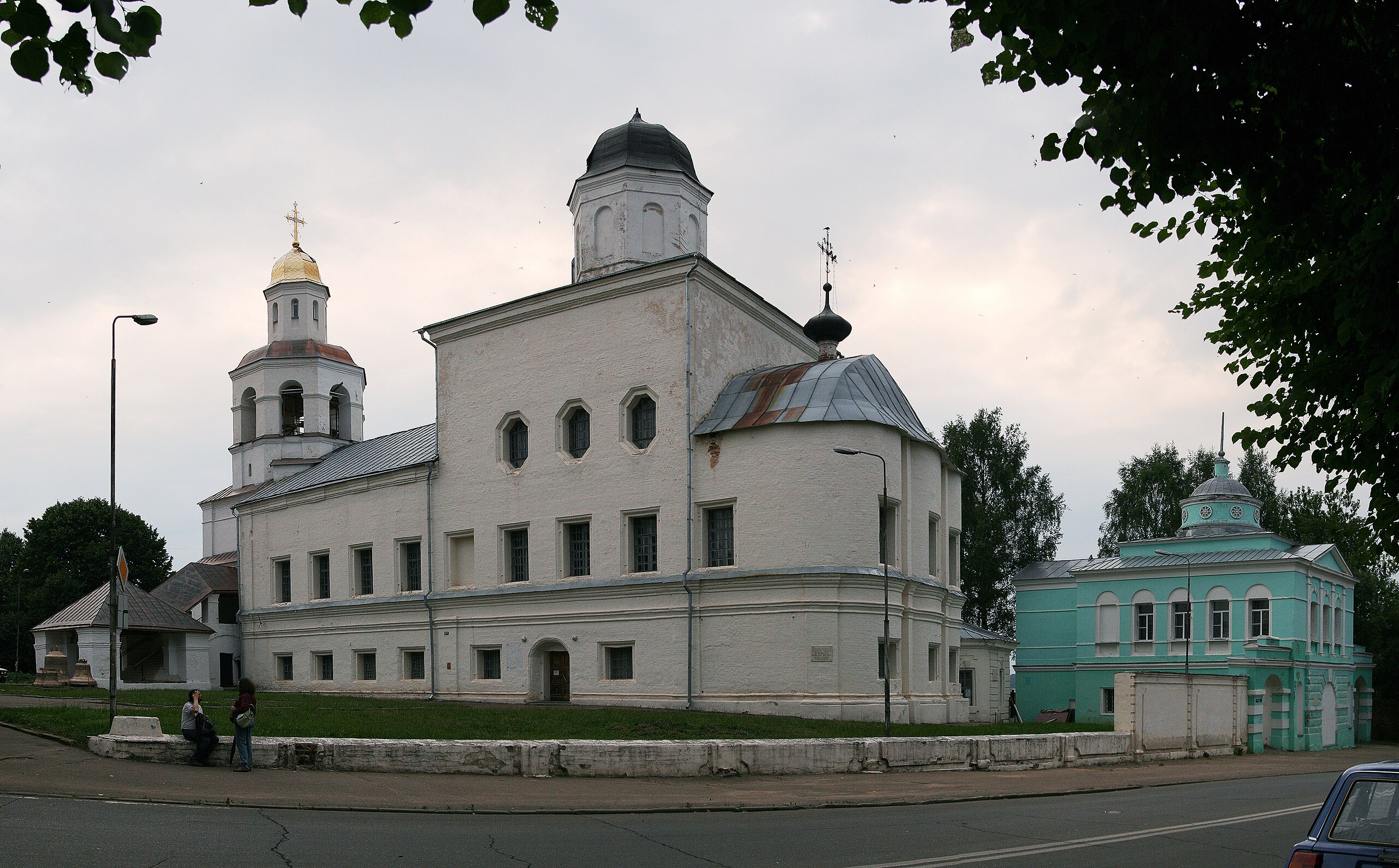
Русский: Вознесенский монастырь: Вознесенский собор (XVII-XVIII в.) и надвратная Ахтырская церковь (1827-1830), Смоленск English: Ascension Convent: Cathedral of Ascension Convent (XVII-XVIII) and church of the Theotokos of Akhtyrka in Russia (1827-1830), Smolensk
|
||||
| Date | |||||
| Source | Own work | ||||
| Author | Ludvig14 |
Licensing
edit
I, the copyright holder of this work, hereby publish it under the following license:
This file is licensed under the Creative Commons Attribution-Share Alike 3.0 Unported license.
- You are free:
- to share – to copy, distribute and transmit the work
- to remix – to adapt the work
- Under the following conditions:
- attribution – You must give appropriate credit, provide a link to the license, and indicate if changes were made. You may do so in any reasonable manner, but not in any way that suggests the licensor endorses you or your use.
- share alike – If you remix, transform, or build upon the material, you must distribute your contributions under the same or compatible license as the original.

|
This image was uploaded as part of Wiki Loves Monuments 2012.
|
File history
Click on a date/time to view the file as it appeared at that time.
| Date/Time | Thumbnail | Dimensions | User | Comment | |
|---|---|---|---|---|---|
| current | 17:41, 5 September 2012 | | 3,775 × 2,344 (9.27 MB) | Ludvig14 (talk | contribs) | User created page with UploadWizard |
You cannot overwrite this file.
File usage on Commons
The following page uses this file:
File usage on other wikis
The following other wikis use this file:
- Usage on it.wikivoyage.org
- Usage on ru.wikivoyage.org
- Usage on uk.wikipedia.org
- Usage on www.wikidata.org