File:Stodůlky, vozíčkářský rozcestník Oistrachova podchod.jpg

Size of this preview: 450 × 600 pixels. Other resolutions: 180 × 240 pixels | 360 × 480 pixels | 576 × 768 pixels | 768 × 1,024 pixels | 2,448 × 3,264 pixels.
Original file (2,448 × 3,264 pixels, file size: 508 KB, MIME type: image/jpeg)
Captions
Captions
Add a one-line explanation of what this file represents
| Description |
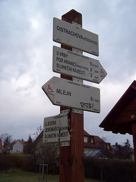
Čeština: Praha-Stodůlky. Centrální park, rozcestník vozíčkářských tras u podchodu Oistrachovy ulice poblíž kulturního domu Mlejn.
English: Prague-Stodůlky, Czech Republic. Central Park, a wheelchair route fingerpost and map near the Mlejn cultural club.
|
||||
| Date | Taken on 16 March 2014 | ||||
| Source | Self-photographed | ||||
| Author | ŠJů | ||||
| Permission (Reusing this file) |
I, the copyright holder of this work, hereby publish it under the following license: This file is licensed under the Creative Commons Attribution-Share Alike 3.0 Unported license. Attribution: ŠJů, Wikimedia Commons
|
File history
Click on a date/time to view the file as it appeared at that time.
| Date/Time | Thumbnail | Dimensions | User | Comment | |
|---|---|---|---|---|---|
| current | 23:15, 23 March 2014 | | 2,448 × 3,264 (508 KB) | ŠJů (talk | contribs) | {{Information |Description= {{cs|1=Praha-cs:Stodůlky. Centrální park, rozcestník vozíčkářských tras u podchodu Oistrachovy ulice poblíž kulturního domu Mlejn.}} {{en|1=Prague-en:Stodůlky, [[:en:Czec... |
You cannot overwrite this file.
File usage on Commons
The following page uses this file: