File:Sydney Front Range Lighthouse.jpg
Original file (6,000 × 4,000 pixels, file size: 22.65 MB, MIME type: image/jpeg)
Captions
Captions
| Description |
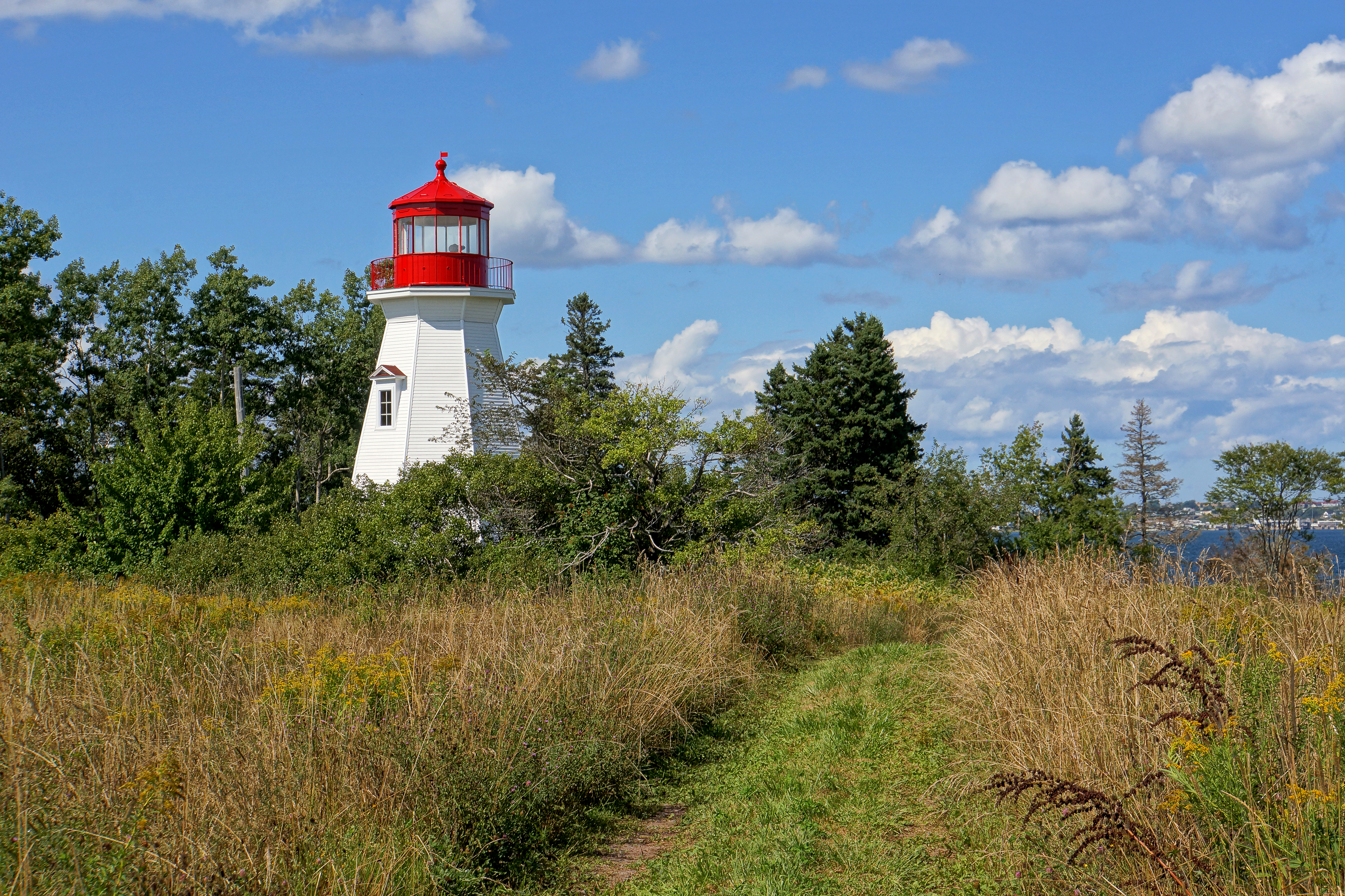
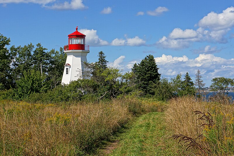
In 2010, the Department of Fisheries and Oceans (DFO) reestablished the historic Sydney Front Range Light. After replacing the Rear Tower with a metal structure in 2009, it was found the front tower was in bad shape with rotten wood. To maintain the heritage characteristic, DFO built a replica of the 1905 structure. The old iron lantern has been refurbished and installed on the new lighthouse, it continues as an active aid to navigation. The replica tower was built using modern long lasting materials. Even though this light house was just rebuilt it is on the "Table of Active Lighthouses Declared Surplus" by the Department of Fisheries and Oceans Canada. Body of Water: Sydney Harbour Region: Cape Breton Island Scenic Drive: Marconi Trail Tower Height: 17.7 meters (58ft) Height Above Water: 18.3 meters (60ft) Characteristic: Fixed Yellow (1992) Still standing: True Still operating: True |
||
| Date | |||
| Source | Flickr: DSC01959 - Sydney Front Range Lighthouse | ||
| Author | Dennis Jarvis | ||
| Permission (Reusing this file) |
This file is licensed under the Creative Commons Attribution-Share Alike 2.0 Generic license.
|
| Camera location | | View this and other nearby images on: OpenStreetMap |
|---|
File history
Click on a date/time to view the file as it appeared at that time.
| Date/Time | Thumbnail | Dimensions | User | Comment | |
|---|---|---|---|---|---|
| current | 22:50, 2 October 2013 | | 6,000 × 4,000 (22.65 MB) | Flickr upload bot (talk | contribs) | Uploaded from http://flickr.com/photo/22490717@N02/7865164216 using Flickr upload bot |
You cannot overwrite this file.
File usage on Commons
The following page uses this file:
- File:DSC01959 - Sydney Front Range Lighthouse (7865164216).jpg (file redirect)
.jpg&redirect=no)