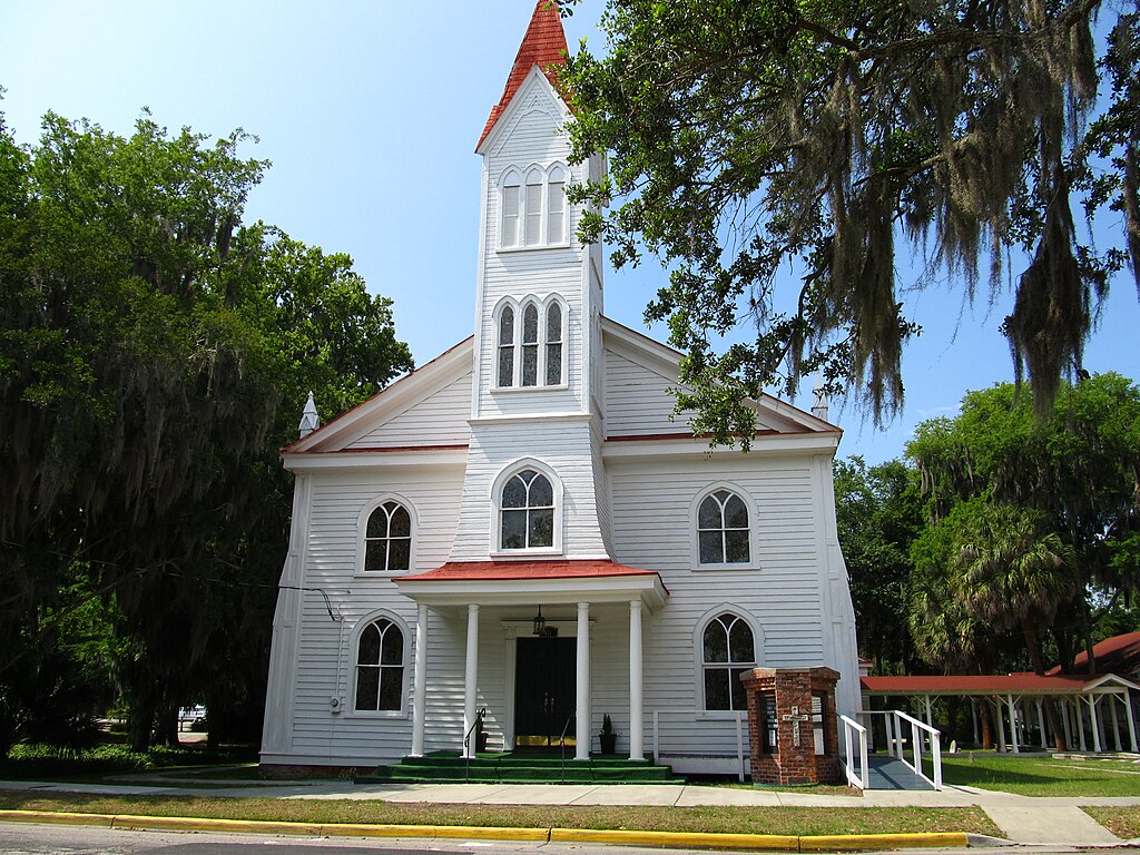
File:Tabernacle Baptist Church, Beaufort, South Carolina - 5810714593.jpg

Original file (4,000 × 3,000 pixels, file size: 3.57 MB, MIME type: image/jpeg)
Captions
Captions
Summary
edit
| Description |
English: Beaufort is a city in and the county seat of Beaufort County, South Carolina, USA. Chartered in 1711, it is the second-oldest city in South Carolina, behind Charleston. The city's population was 12,361 in the 2010 census. It is located in the Hilton Head Island-Beaufort Micropolitan Area.
Beaufort is located on Port Royal Island, in the heart of the Sea Islands and Lowcountry. The city is renowned for its scenic location and for maintaining a historic character by preservation of its antebellum architecture. The city is also known for its military establishments, being located in close proximity to Parris Island and a U.S. Naval Hospital, in addition to being home of the Marine Corps Air Station Beaufort. The city has been featured in the New York Times, and named "Best Small Southern Town" by Southern Living, a "Top 25 Small City Arts Destination" by American Style, and a "Top 50 Adventure Town" by National Geographic Adventure. Beaufort Historic District is a historic district in Beaufort, South Carolina. It was listed on the National Register of Historic Places in 1969, and further was declared a National Historic Landmark in 1973. The historic district is renowned for its impressive collection of antebellum architecture that reflect the Federal, neoclassical, and Greek revival styles that were popular during the interwar period, along with the widespread use of tabby. A variety of homes, gardens, commercial buildings, houses of worship and graveyards are featured in the district, with some sites open for public inspection. Continuous efforts at rehabilitation and conservation underline the community's commitment to maintaining the historic nature of the district, which has attracted much acclaim and popularity from visitors and media outlets. en.wikipedia.org/wiki/Beaufort,_South_Carolina en.wikipedia.org/wiki/Beaufort_Historic_District_(Beaufort,_South_Carolina) en.wikipedia.org/wiki/Wikipedia:Text_of_Creative_Commons_... |
| Date | Taken on 6 June 2011, 12:35:16 |
| Source | https://www.flickr.com/photos/kenlund/5810714593/ |
| Author | Ken Lund |
| Camera location | | View this and other nearby images on: OpenStreetMap |
|---|
Licensing
edit
- You are free:
- to share – to copy, distribute and transmit the work
- to remix – to adapt the work
- Under the following conditions:
- attribution – You must give appropriate credit, provide a link to the license, and indicate if changes were made. You may do so in any reasonable manner, but not in any way that suggests the licensor endorses you or your use.
- share alike – If you remix, transform, or build upon the material, you must distribute your contributions under the same or compatible license as the original.
| This image was originally posted to Flickr by Ken Lund at https://flickr.com/photos/75683070@N00/5810714593. It was reviewed on 7 September 2023 by FlickreviewR 2 and was confirmed to be licensed under the terms of the cc-by-sa-2.0. |
File history
Click on a date/time to view the file as it appeared at that time.
| Date/Time | Thumbnail | Dimensions | User | Comment | |
|---|---|---|---|---|---|
| current | 16:48, 7 September 2023 | | 4,000 × 3,000 (3.57 MB) | Dclemens1971 (talk | contribs) | Uploaded a work by Ken Lund from https://www.flickr.com/photos/kenlund/5810714593/ with UploadWizard |
You cannot overwrite this file.
File usage on Commons
There are no pages that use this file.