File:Tanger Tetouan Hoceima Region Locator map.svg

Size of this PNG preview of this SVG file: 573 × 600 pixels. Other resolutions: 229 × 240 pixels | 459 × 480 pixels | 734 × 768 pixels | 978 × 1,024 pixels | 1,957 × 2,048 pixels | 879 × 920 pixels.
Original file (SVG file, nominally 879 × 920 pixels, file size: 126 KB)
Captions
Captions
Add a one-line explanation of what this file represents
Summary
edit
| Description |
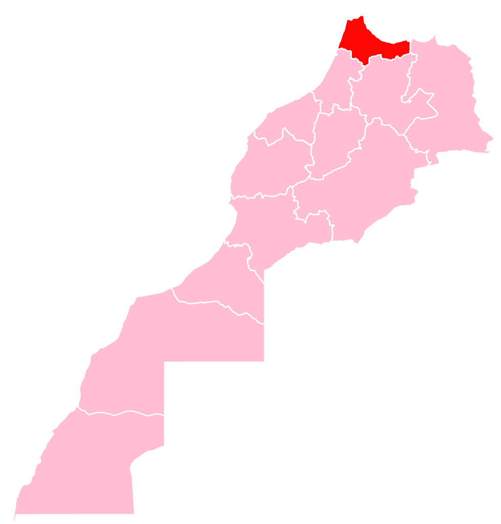
Français : Localisation de la Region 1 sur la carte du Maroc |
| Date | |
| Source | Own work |
| Author | Rherrad |
Licensing
edit
I, the copyright holder of this work, hereby publish it under the following license:
This file is licensed under the Creative Commons Attribution-Share Alike 4.0 International license.
- You are free:
- to share – to copy, distribute and transmit the work
- to remix – to adapt the work
- Under the following conditions:
- attribution – You must give appropriate credit, provide a link to the license, and indicate if changes were made. You may do so in any reasonable manner, but not in any way that suggests the licensor endorses you or your use.
- share alike – If you remix, transform, or build upon the material, you must distribute your contributions under the same or compatible license as the original.
File history
Click on a date/time to view the file as it appeared at that time.
| Date/Time | Thumbnail | Dimensions | User | Comment | |
|---|---|---|---|---|---|
| current | 10:36, 30 March 2019 | | 879 × 920 (126 KB) | Lasunncty (talk | contribs) | using vector data from File:Tanger-Tetouan-Al Hoceima in Morocco (Morocco view).svg |
| 11:16, 29 September 2015 |  | 7,887 × 7,999 (813 KB) | Rherrad (talk | contribs) | User created page with UploadWizard |
.svg)
You cannot overwrite this file.
File usage on Commons
The following 3 pages use this file:
File usage on other wikis
The following other wikis use this file:
- Usage on ar.wikipedia.org
- طنجة
- القصر الكبير
- وزان
- إقليم الحسيمة
- إقليم شفشاون
- إقليم العرائش
- إقليم تطوان
- إقليم الفحص أنجرة
- عمالة طنجة أصيلة
- إقليم وزان
- عمالة المضيق الفنيدق
- جهة طنجة تطوان الحسيمة
- قالب:جهة طنجة تطوان الحسيمة
- ويكيبيديا:الميدان/منوعات/أرشيف/2016/مارس
- بوابة:طنجة
- بوابة:طنجة/قوالب
- بوابة:تطوان
- بوابة:تطوان/قوالب
- بوابة:الحسيمة
- بوابة:الحسيمة/قوالب
- Usage on ary.wikipedia.org
- Usage on ca.wikipedia.org
- Asilah
- Tànger
- Azla
- Oued Laou
- Targuist
- Al Hoceima
- Tetuan
- Al-Ksar es-Seghir
- Larraix
- Província de Larraix
- Kasr al-Kabir
- Xauen
- Ouezzane
- Fnideq
- Tànger-Tetuan-Al Hoceima
- Plantilla:Tànger-Tetuan-Al Hoceima
- Prefectura de Tanger-Assilah
- Província de Fahs-Anjra
- Prefectura de M'diq-Fnideq
- Província de Xauen
- Província d'Ouezzane
- Província de Tetuan
- Província d'Al Hoceima
- Gueznaia
- Bni Makada
- Charf-Mghogha
- Charf-Souani
- Tanger-Médina
- Al Manzla
View more global usage of this file.