File:Tradigist Wirtshaus Kirchner.jpg
Size of this preview: 800 × 530 pixels. Other resolutions: 320 × 212 pixels | 640 × 424 pixels | 1,024 × 678 pixels | 1,280 × 848 pixels | 2,560 × 1,696 pixels | 4,928 × 3,264 pixels.
Original file (4,928 × 3,264 pixels, file size: 6.81 MB, MIME type: image/jpeg)
File information
Structured data
Captions
Summary
editDescriptionTradigist Wirtshaus Kirchner.jpg |
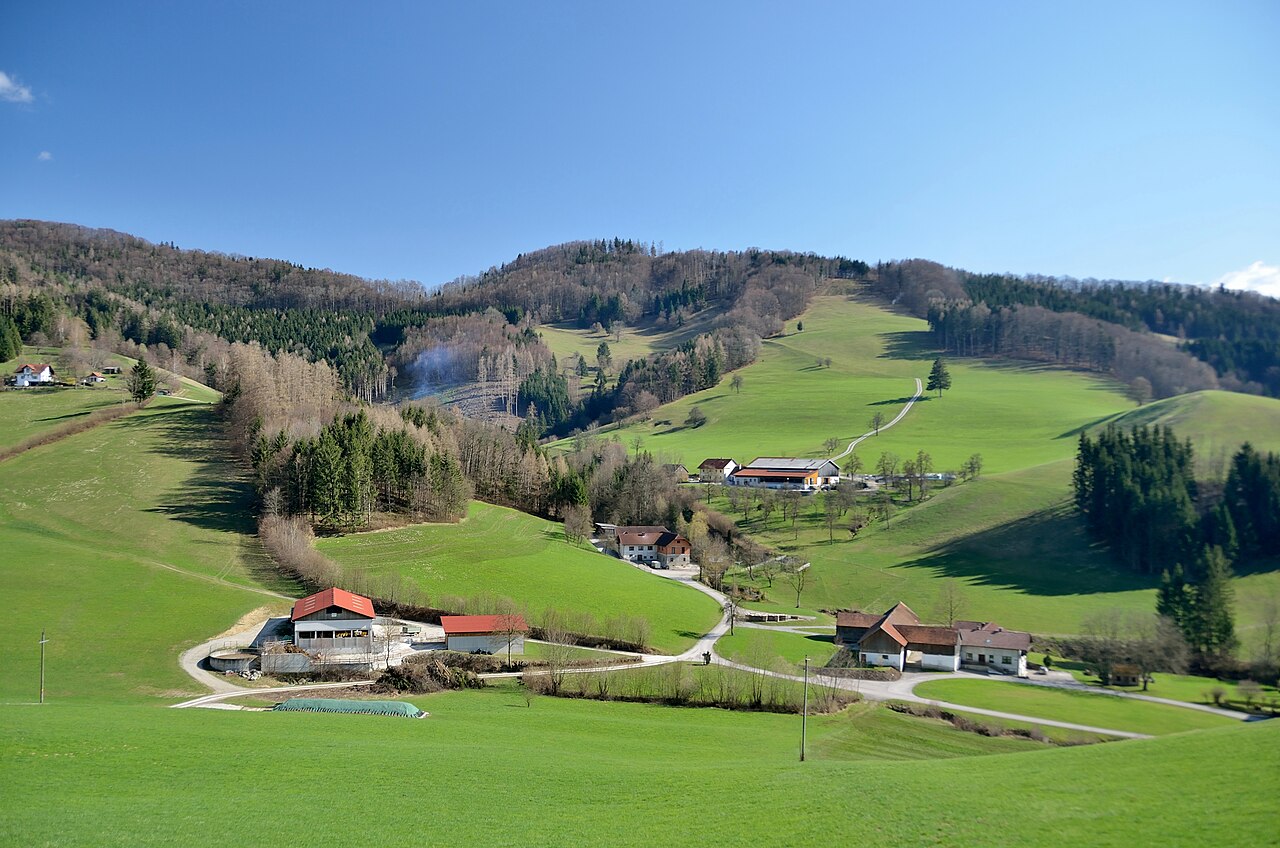
Deutsch: Baunerhaus Tradigist 36, Wirtshaus Kirchner, Hofstadt Richtung Süden von der Westrampe zum 594m hohen Pass Geiseben. |
Date | |
Source | Own work |
Author | Herzi Pinki |
Camera location | 48° 02′ 14.5″ N, 15° 29′ 59.47″ E | View this and other nearby images on: OpenStreetMap | 48.037360; 15.499853 |
---|
Licensing
editI, the copyright holder of this work, hereby publish it under the following license:
This file is licensed under the Creative Commons Attribution-Share Alike 4.0 International license.
- You are free:
- to share – to copy, distribute and transmit the work
- to remix – to adapt the work
- Under the following conditions:
- attribution – You must give appropriate credit, provide a link to the license, and indicate if changes were made. You may do so in any reasonable manner, but not in any way that suggests the licensor endorses you or your use.
- share alike – If you remix, transform, or build upon the material, you must distribute your contributions under the same or compatible license as the original.
Annotations InfoField | This image is annotated: View the annotations at Commons |
3088
2263
947
416
4928
3264
Tradigist 36
2241
1978
477
293
4928
3264
Wirtshaus Kirchner
2672
1694
647
262
4928
3264
Hofstadt
File history
Click on a date/time to view the file as it appeared at that time.
Date/Time | Thumbnail | Dimensions | User | Comment | |
---|---|---|---|---|---|
current | 22:37, 22 April 2018 | 4,928 × 3,264 (6.81 MB) | Herzi Pinki (talk | contribs) | User created page with UploadWizard |
You cannot overwrite this file.
File usage on Commons
There are no pages that use this file.
Metadata
This file contains additional information such as Exif metadata which may have been added by the digital camera, scanner, or software program used to create or digitize it. If the file has been modified from its original state, some details such as the timestamp may not fully reflect those of the original file. The timestamp is only as accurate as the clock in the camera, and it may be completely wrong.
Camera manufacturer | NIKON CORPORATION |
---|---|
Camera model | NIKON D7000 |
Author | Christian Philipp |
Copyright holder | Christian Philipp, CC-by-sa 3.0 |
Exposure time | 1/400 sec (0.0025) |
F-number | f/3.5 |
ISO speed rating | 180 |
Date and time of data generation | 16:04, 7 April 2018 |
Lens focal length | 20 mm |
Latitude | 48° 2′ 14.5″ N |
Longitude | 15° 29′ 59.47″ E |
Altitude | 512 meters above sea level |
Label | uploaded |
Orientation | Normal |
Horizontal resolution | 300 dpi |
Vertical resolution | 300 dpi |
Software used | ViewNX 2.10 W |
File change date and time | 12:28, 22 April 2018 |
Y and C positioning | Centered |
Pair of black and white reference values |
|
Exposure Program | Shutter priority |
Exif version | 2.3 |
Date and time of digitizing | 16:04, 7 April 2018 |
Meaning of each component |
|
APEX exposure bias | 0 |
Maximum land aperture | 3.7 APEX (f/3.61) |
Metering mode | Pattern |
Light source | Unknown |
Flash | Flash did not fire, compulsory flash suppression |
DateTime subseconds | 20 |
DateTimeOriginal subseconds | 20 |
DateTimeDigitized subseconds | 20 |
Supported Flashpix version | 1 |
Color space | Uncalibrated |
Sensing method | One-chip color area sensor |
File source | Digital still camera |
Scene type | A directly photographed image |
Custom image processing | Normal process |
Exposure mode | Auto exposure |
White balance | Auto white balance |
Digital zoom ratio | 1 |
Focal length in 35 mm film | 30 mm |
Scene capture type | Standard |
Scene control | None |
Contrast | Normal |
Saturation | Normal |
Sharpness | Hard |
Subject distance range | Unknown |
GPS time (atomic clock) | 14:04 |
Satellites used for measurement | 06 |
Geodetic survey data used | WGS 84 |
GPS date | 7 April 2018 |
GPS tag version | 0.0.3.2 |
Urgency | 5 |