File:United States, administrative divisions - de - colored.svg

Size of this PNG preview of this SVG file: 800 × 495 pixels. Other resolutions: 320 × 198 pixels | 640 × 396 pixels | 1,024 × 634 pixels | 1,280 × 792 pixels | 2,560 × 1,585 pixels | 1,181 × 731 pixels.
Original file (SVG file, nominally 1,181 × 731 pixels, file size: 2.72 MB)
Captions
Captions
Add a one-line explanation of what this file represents
Summary
edit
| Description |
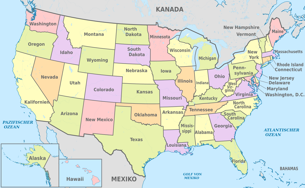
Deutsch: Karte der politischen Gliederung von United States, administrative divisions - de - colored
English: Map of administrative divisions of United States, administrative divisions - de - colored |
||
| Date | |||
| Source |
Own work |
||
| Author |
TUBS |
||
| Other versions |
|
||
| SVG development | This W3C-invalid locator map was created with Adobe Illustrator by TUBS, and with Inkscape. This W3C-invalid SVG locator map was uploaded with Commonist. |
Licensing
edit
I, the copyright holder of this work, hereby publish it under the following license:
This file is licensed under the Creative Commons Attribution-Share Alike 3.0 Unported license.
- You are free:
- to share – to copy, distribute and transmit the work
- to remix – to adapt the work
- Under the following conditions:
- attribution – You must give appropriate credit, provide a link to the license, and indicate if changes were made. You may do so in any reasonable manner, but not in any way that suggests the licensor endorses you or your use.
- share alike – If you remix, transform, or build upon the material, you must distribute your contributions under the same or compatible license as the original.

|
I'd greatly appreciate, that you attribute this media file to Wikimedia Commons, if used outside Wikipedia or Commons. For use in publications such as books, newspapers, blogs, websites, please insert here the following line:
|
File history
Click on a date/time to view the file as it appeared at that time.
| Date/Time | Thumbnail | Dimensions | User | Comment | |
|---|---|---|---|---|---|
| current | 16:48, 15 June 2012 | | 1,181 × 731 (2.72 MB) | TUBS (talk | contribs) |
You cannot overwrite this file.
File usage on Commons
The following 8 pages use this file:
- File:United States, administrative divisions - de - colored, Noto font.svg
- File:United States, administrative divisions - en - colored.svg
- File:United States, administrative divisions - es - colored.svg
- File:United States, administrative divisions - fr - colored.svg
- File:United States, administrative divisions - ja - colored.svg
- File:United States, administrative divisions - zh-hans - colored.svg
- File:United States, administrative divisions - zh-hant - colored.svg
- Template:United States imagemap (location map scheme)
File usage on other wikis
The following other wikis use this file:
- Usage on als.wikipedia.org
- Usage on ast.wikipedia.org
- Usage on de.wikipedia.org
- Usage on de.wikivoyage.org
- Usage on es.wikipedia.org
- Usage on gl.wikipedia.org
- Usage on hsb.wikipedia.org
- Usage on hu.wiktionary.org
- Usage on mt.wikipedia.org