File:Unterquerung.jpg
Size of this preview: 480 × 600 pixels. Other resolutions: 192 × 240 pixels | 384 × 480 pixels | 614 × 768 pixels | 819 × 1,024 pixels | 1,280 × 1,600 pixels.
Original file (1,280 × 1,600 pixels, file size: 336 KB, MIME type: image/jpeg)
Captions
Captions
Add a one-line explanation of what this file represents
Summary
edit
| Camera location | | View this and other nearby images on: OpenStreetMap |
|---|
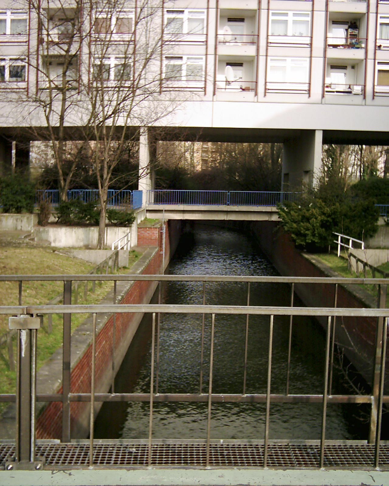
| Description | Vor dem Wehr Chausseestraße wird ein Wohnhaus unterquert, Weddinger Enge. |
| Date | |
| Source | Own work |
| Author | Boonekamp |
Licensing
edit
| I, the copyright holder of this work, release this work into the public domain. This applies worldwide. In some countries this may not be legally possible; if so: I grant anyone the right to use this work for any purpose, without any conditions, unless such conditions are required by law. |
File history
Click on a date/time to view the file as it appeared at that time.
| Date/Time | Thumbnail | Dimensions | User | Comment | |
|---|---|---|---|---|---|
| current | 18:35, 15 March 2008 | | 1,280 × 1,600 (336 KB) | Boonekamp (talk | contribs) | == Beschreibung == {{location|52|32|43|N|13|22|27|E|region:DE-BE_heading:015}} {{Information |Description=Vor dem Wehr Chausseestraße wird ein Wohnhaus unterquert, Weddinger Enge. |Source=eigene Arbeit |Date=2008-02-24 |Author= [[User:Boonekamp|Boonekamp |
You cannot overwrite this file.
File usage on Commons
The following page uses this file: