File:Vallila and Kumpula from air.JPG

Size of this preview: 800 × 600 pixels. Other resolutions: 320 × 240 pixels | 640 × 480 pixels | 1,024 × 768 pixels | 1,280 × 960 pixels | 2,560 × 1,920 pixels | 3,648 × 2,736 pixels.
Original file (3,648 × 2,736 pixels, file size: 3.19 MB, MIME type: image/jpeg)
Captions
Captions
Add a one-line explanation of what this file represents
Summary
edit
| Description |
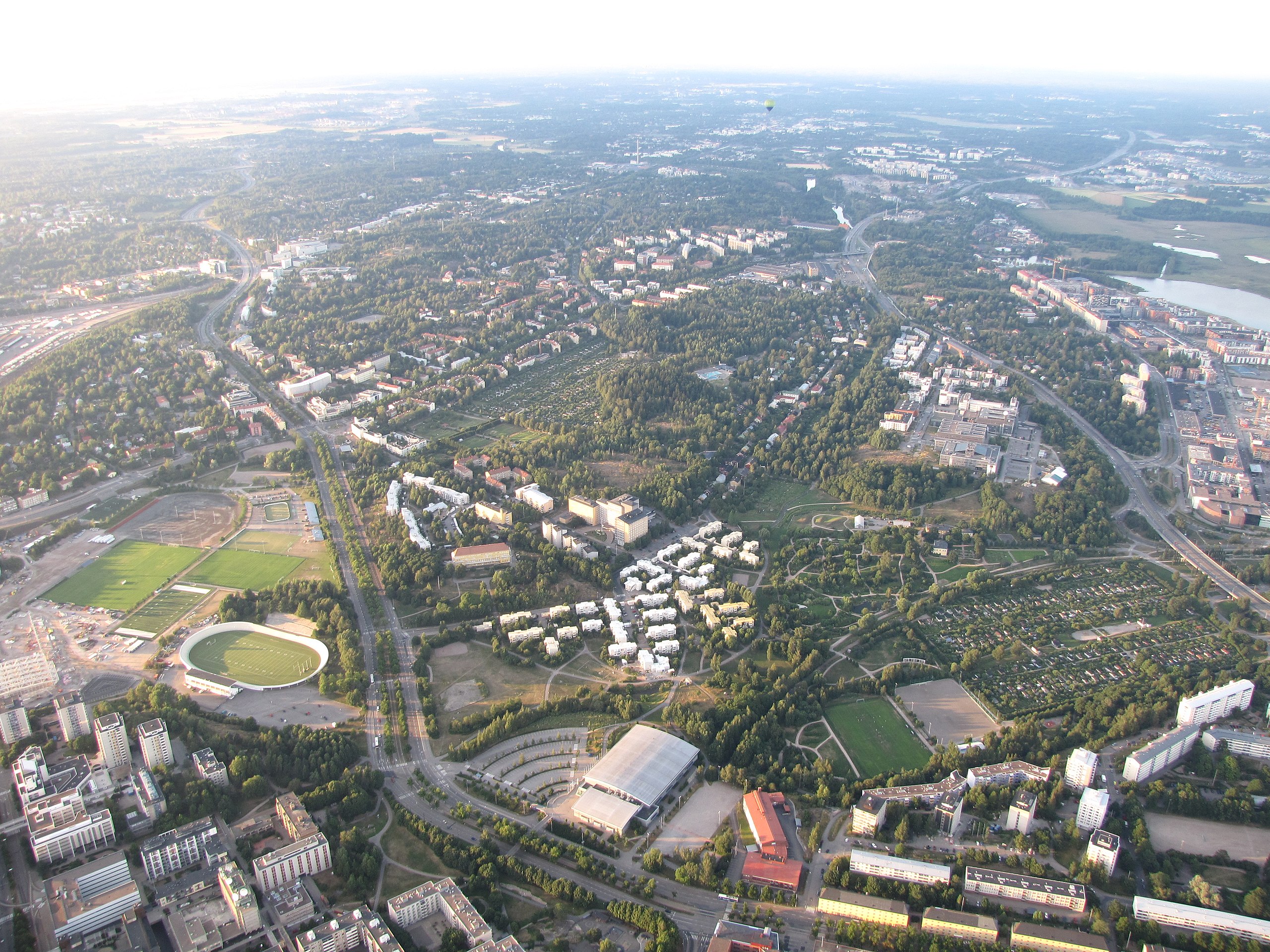
English: Vallila and Kumpula photographed from a hot air balloon. Mäkelänkatu street on the left and Kustaa Vaasan tie road on the right.
Suomi: Vallila ja Kumpula kuvattuna kuumailmapallosta. Mäkelänkatu kuvassa vasemmalla ja Kustaa Vaasan tie oikealla. |
| Date | |
| Source | Own work |
| Author | MKFI |
| Camera location | | View this and other nearby images on: OpenStreetMap |
|---|
The geographical information in this file was retrospectively estimated.
The location may therefore be somewhat imprecise. Verifying and refining these coordinates is strongly encouraged. |
Licensing
edit
| I, the copyright holder of this work, release this work into the public domain. This applies worldwide. In some countries this may not be legally possible; if so: I grant anyone the right to use this work for any purpose, without any conditions, unless such conditions are required by law. |
| Annotations | This image is annotated: View the annotations at Commons |
File history
Click on a date/time to view the file as it appeared at that time.
| Date/Time | Thumbnail | Dimensions | User | Comment | |
|---|---|---|---|---|---|
| current | 11:41, 21 August 2010 | | 3,648 × 2,736 (3.19 MB) | MKFI (talk | contribs) | {{Information |Description={{en|1=Vallila and Kumpula photographed from a hot air balloon. Mäkelänkatu street on the left and Kustaa Vaasan tie road on the right.}} {{fi|1=Vallila ja Kumpula kuvattuna kuumailmapallosta. Mäkelänkatu kuvassa vasemmalla |
You cannot overwrite this file.
File usage on Commons
There are no pages that use this file.
File usage on other wikis
The following other wikis use this file:
- Usage on fi.wikipedia.org
- Usage on fr.wikipedia.org