File:View of north of Kuwait City.jpg

Size of this preview: 800 × 532 pixels. Other resolutions: 320 × 213 pixels | 640 × 426 pixels | 1,024 × 681 pixels | 1,280 × 851 pixels | 2,560 × 1,702 pixels | 6,016 × 4,000 pixels.
Original file (6,016 × 4,000 pixels, file size: 9.35 MB, MIME type: image/jpeg)
Captions
Captions
View of north of Kuwait City
Summary edit
| Description |
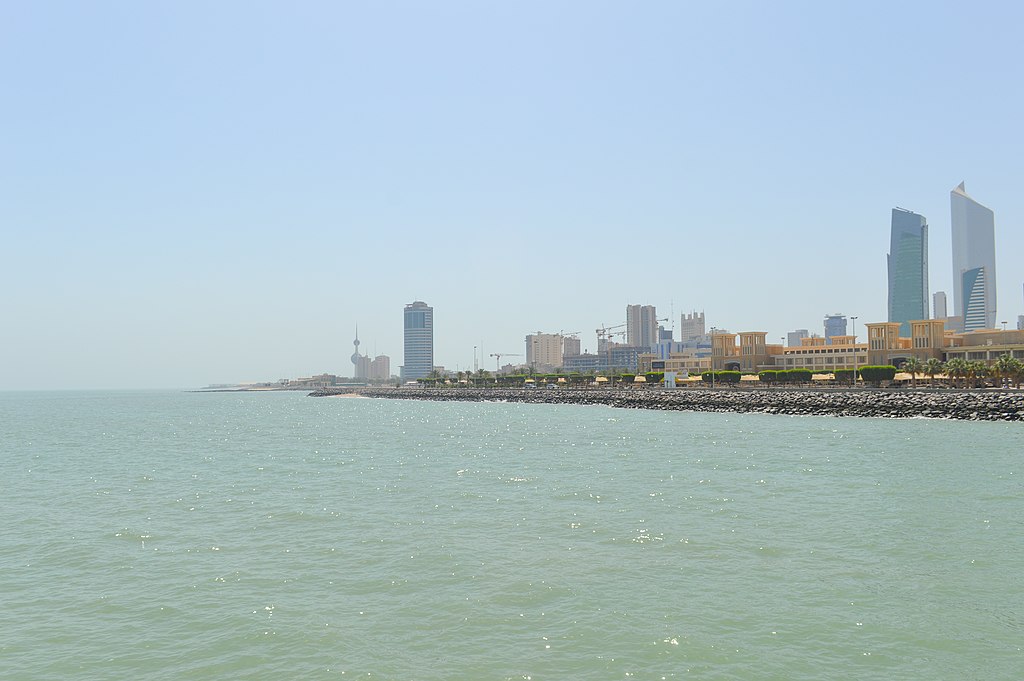
English: View of north of Kuwait City. The skyscraper on the right is Al Hamra Tower, which is the tallest building in Kuwait. |
| Date | Taken on 13 May 2016, 01:30:35 |
| Source | https://www.flickr.com/photos/fran001/26923922731/ |
| Author | Francisco Anzola |
| Camera location | | View this and other nearby images on: OpenStreetMap |
|---|
Licensing edit
This file is licensed under the Creative Commons Attribution 2.0 Generic license.
- You are free:
- to share – to copy, distribute and transmit the work
- to remix – to adapt the work
- Under the following conditions:
- attribution – You must give appropriate credit, provide a link to the license, and indicate if changes were made. You may do so in any reasonable manner, but not in any way that suggests the licensor endorses you or your use.
| This image was originally posted to Flickr by Francisco Anzola at https://flickr.com/photos/10345599@N03/26923922731. It was reviewed on 14 August 2021 by FlickreviewR 2 and was confirmed to be licensed under the terms of the cc-by-2.0. |
File history
Click on a date/time to view the file as it appeared at that time.
| Date/Time | Thumbnail | Dimensions | User | Comment | |
|---|---|---|---|---|---|
| current | 14:01, 14 August 2021 | | 6,016 × 4,000 (9.35 MB) | Ox1997cow (talk | contribs) | Uploaded a work by Francisco Anzola from https://www.flickr.com/photos/fran001/26923922731/ with UploadWizard |
You cannot overwrite this file.
File usage on Commons
There are no pages that use this file.
File usage on other wikis
The following other wikis use this file:
- Usage on de.wikipedia.org
- Usage on fa.wikipedia.org
- Usage on ha.wikipedia.org
- Usage on zh.wikipedia.org