File:Virginia county map, cb 500k.svg

Size of this PNG preview of this SVG file: 800 × 354 pixels. Other resolutions: 320 × 141 pixels | 640 × 283 pixels | 1,024 × 453 pixels | 1,280 × 566 pixels | 2,560 × 1,131 pixels | 810 × 358 pixels.
Original file (SVG file, nominally 810 × 358 pixels, file size: 84 KB)
Captions
Captions
Add a one-line explanation of what this file represents
Summary
edit
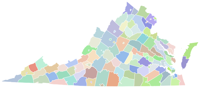
| Description | A series of standardized county maps for each U.S. state, sharing a common page width, line weight, and level of detail. Projection: ESRI:102004 Lambert Conformal Conic. Data source: US Census, Tiger/Line, cb_500k. Made with QGIS, refined with Inkscape. |
| Date | |
| Source | Own work |
| Author | awmcphee |
Licensing
edit
I, the copyright holder of this work, hereby publish it under the following license:
| This file is made available under the Creative Commons CC0 1.0 Universal Public Domain Dedication. | |
| The person who associated a work with this deed has dedicated the work to the public domain by waiving all of their rights to the work worldwide under copyright law, including all related and neighboring rights, to the extent allowed by law. You can copy, modify, distribute and perform the work, even for commercial purposes, all without asking permission.
|
File history
Click on a date/time to view the file as it appeared at that time.
| Date/Time | Thumbnail | Dimensions | User | Comment | |
|---|---|---|---|---|---|
| current | 02:57, 17 December 2022 | | 810 × 358 (84 KB) | Awmcphee (talk | contribs) | V2 simplified geometry |
| 20:05, 29 November 2022 |  | 744 × 344 (625 KB) | Elli (talk | contribs) | restore original stroke for consistency with other maps | |
| 20:51, 31 October 2021 |  | 744 × 344 (629 KB) | Elli (talk | contribs) | border widths | |
| 01:35, 13 October 2021 |  | 744 × 344 (563 KB) | Elli (talk | contribs) | Reverted to version as of 00:46, 13 October 2021 (UTC) | |
| 01:10, 13 October 2021 |  | 744 × 344 (620 KB) | Elli (talk | contribs) | test | |
| 00:46, 13 October 2021 |  | 744 × 344 (563 KB) | Awmcphee (talk | contribs) | 2nd generation map with county name IDs, 0.500mm stroke width, and special workaround to emphasize independent cities. | |
| 02:09, 26 March 2021 |  | 744 × 344 (715 KB) | Awmcphee (talk | contribs) |
You cannot overwrite this file.
File usage on Commons
The following 7 pages use this file:
- User:Awmcphee/gallery
- Commons:Graphic Lab/Map workshop/Archive/2023
- File:2001 Virginia Attorney General election results map by county.svg
- File:2006 Virginia Marriage Amendment results map by county.svg
- File:2020 Virginia Question 1 results map by county.svg
- File:2021 Virginia gubernatorial election results map by county.svg
- File:Virginia Democratic Presidential Primary Election Results by County, 2024.svg