File:Vojvodina flag map.png
Size of this preview: 717 × 600 pixels. Other resolutions: 287 × 240 pixels | 574 × 480 pixels | 821 × 687 pixels.
Original file (821 × 687 pixels, file size: 28 KB, MIME type: image/png)
Captions
Captions
Add a one-line explanation of what this file represents
Summary edit
| Description |
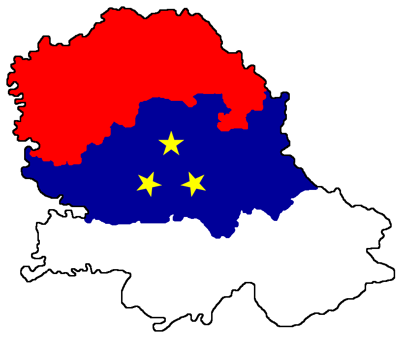
English: Map of Vojvodina with colours from Vojvodina flag - the map is artistically stylised so that it does not show modern southern border of Vojvodina, but historical one from 1848.
Српски / srpski: Мапа Војводине обојена бојама са војвођанске заставе - мапа је уметнички стилизована, тако да не приказује модерну јужну границу Војводине, већ историјску из 1848. |
| Date | 12 June 2009 (original upload date) |
| Source | No machine-readable source provided. Own work assumed (based on copyright claims). |
| Author | No machine-readable author provided. PANONIAN assumed (based on copyright claims). |
References edit
- Nenad M. Jovanović, Grbovi, zastave i himne u istoriji Srbije, Beograd, 2010.
- Geografski atlas, Magic Map, Smederevska Palanka, 2001.
- Auto atlas - Jugoslavija, drugo izdanje, Jugoslavenski leksikografski zavod, Zagreb, 1972.
- Školski istorijski atlas, Zavod za izdavanje udžbenika SR Srbije, Beograd, 1970.
Licensing edit
self-made map by user:PANONIAN
| I, the copyright holder of this work, release this work into the public domain. This applies worldwide. In some countries this may not be legally possible; if so: I grant anyone the right to use this work for any purpose, without any conditions, unless such conditions are required by law. |
File history
Click on a date/time to view the file as it appeared at that time.
| Date/Time | Thumbnail | Dimensions | User | Comment | |
|---|---|---|---|---|---|
| current | 16:50, 21 June 2013 | | 821 × 687 (28 KB) | PANONIAN (talk | contribs) | Reverted to version as of 15:11, 25 April 2010 - I do not agree with this, transparency cause problems if file is downloaded into computer. if you want to have such map version, please upload it under different filename |
| 13:11, 21 June 2013 |  | 821 × 687 (18 KB) | TheStefan12345 (talk | contribs) | Added transparency | |
| 15:11, 25 April 2010 |  | 821 × 687 (28 KB) | PANONIAN (talk | contribs) | aesthetical correction | |
| 14:57, 12 June 2009 |  | 821 × 687 (29 KB) | PANONIAN (talk | contribs) | ==Description== *English: Map of Vojvodina with colours from Vojvodina flag - the map is artistically stylised so that it does not show modern southern border of Vojvodina, but historical one from 1848. *Serbian: Мапа Војводине обојена |
You cannot overwrite this file.
File usage on Commons
The following page uses this file: