File:Wöhrsee Orthophoto.jpg

Size of this preview: 654 × 600 pixels. Other resolutions: 262 × 240 pixels | 523 × 480 pixels | 837 × 768 pixels | 1,117 × 1,024 pixels | 1,412 × 1,295 pixels.
Original file (1,412 × 1,295 pixels, file size: 674 KB, MIME type: image/jpeg)
Captions
Captions
Add a one-line explanation of what this file represents
| Description | |
| Date | |
| Source | http://vermessung.bayern.de/opendata |
| Author | Datenquelle: Bayerische Vermessungsverwaltung – www.geodaten.bayern.de |
| Permission (Reusing this file) |
Bayerische Vermessungsverwaltung: OpenData This file is licensed under the Creative Commons Attribution 3.0 Germany license.
 |
| Object location | | View this and other nearby images on: OpenStreetMap |
|---|
| Annotations | This image is annotated: View the annotations at Commons |
File history
Click on a date/time to view the file as it appeared at that time.
| Date/Time | Thumbnail | Dimensions | User | Comment | |
|---|---|---|---|---|---|
| current | 09:42, 27 January 2014 | | 1,412 × 1,295 (674 KB) | Thgoiter (talk | contribs) | higher resolution |
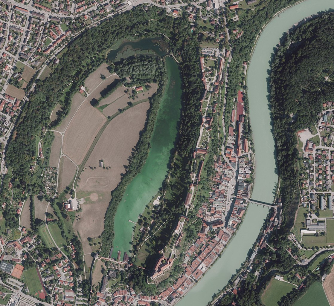
| 09:37, 27 January 2014 |  | 608 × 679 (206 KB) | Thgoiter (talk | contribs) | {{Information |Description={{de|1=Orthophoto von Category:Wöhrsee, Burg zu Burghausen und Category:Salzach.}} |Source=http://vermessung.bayern.de/opendata |Date=2012-08-12 |Author=Datenquelle: Bayerische Vermessungsverwaltung – www.g... |
You cannot overwrite this file.
File usage on Commons
The following 2 pages use this file:
File usage on other wikis
The following other wikis use this file:
- Usage on arz.wikipedia.org
- Usage on de.wikipedia.org
- Usage on www.wikidata.org
- Usage on zh.wikipedia.org