File:WIS 119 map.PNG

Size of this preview: 800 × 574 pixels. Other resolutions: 320 × 230 pixels | 640 × 459 pixels | 853 × 612 pixels.
Original file (853 × 612 pixels, file size: 57 KB, MIME type: image/png)
Captions
Captions
Add a one-line explanation of what this file represents
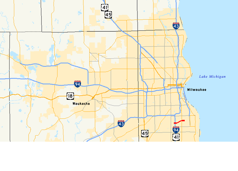
| Description | Map of WIS 119 |
| Date | (UTC) |
| Source | |
| Author |
|
| This is a retouched picture, which means that it has been digitally altered from its original version. Modifications: changed from I-794 to WIS 119. The original can be viewed here: I-794-map.png:
|
I, the copyright holder of this work, hereby publish it under the following license:

|
Permission is granted to copy, distribute and/or modify this document under the terms of the GNU Free Documentation License, Version 1.2 or any later version published by the Free Software Foundation; with no Invariant Sections, no Front-Cover Texts, and no Back-Cover Texts. A copy of the license is included in the section entitled GNU Free Documentation License. |
| This file is licensed under the Creative Commons Attribution-Share Alike 3.0 Unported license. | ||
| ||
| This licensing tag was added to this file as part of the GFDL licensing update. |
Original upload log edit
This image is a derivative work of the following images:
- File:I-794-map.png licensed with GFDL
- 2007-08-20T03:19:48Z Master son 853x507 (41273 Bytes) {{Information| |Description= Map of [[w:Interstate 794|I-794]] |Source=Own work - using Quantum GIS 0.8.1 based on data collected from [http://www.census.gov/geo/www/cob/co2000.html the Census Bureau] (the county outlines) a
Uploaded with derivativeFX
File history
Click on a date/time to view the file as it appeared at that time.
| Date/Time | Thumbnail | Dimensions | User | Comment | |
|---|---|---|---|---|---|
| current | 03:45, 24 June 2009 | | 853 × 612 (57 KB) | Marcusmax (talk | contribs) | {{Information |Description=Map of WIS 119 |Source=*File:I-794-map.png |Date=2009-06-24 04:43 (UTC) |Author=*File:I-794-map.png: User:Master_son *derivative work: ~~~ |Permission=see below |other_versions= }} {{ |
You cannot overwrite this file.
File usage on Commons
The following page uses this file:
File usage on other wikis
The following other wikis use this file:
- Usage on www.wikidata.org