File:Wilhering Wegweiser Prinzensteig.jpg

Size of this preview: 800 × 533 pixels. Other resolutions: 320 × 213 pixels | 640 × 427 pixels | 1,024 × 683 pixels | 1,280 × 853 pixels | 2,560 × 1,707 pixels | 5,390 × 3,593 pixels.
Original file (5,390 × 3,593 pixels, file size: 5.53 MB, MIME type: image/jpeg)
Captions
Captions
Add a one-line explanation of what this file represents
Summary
edit
| Description |
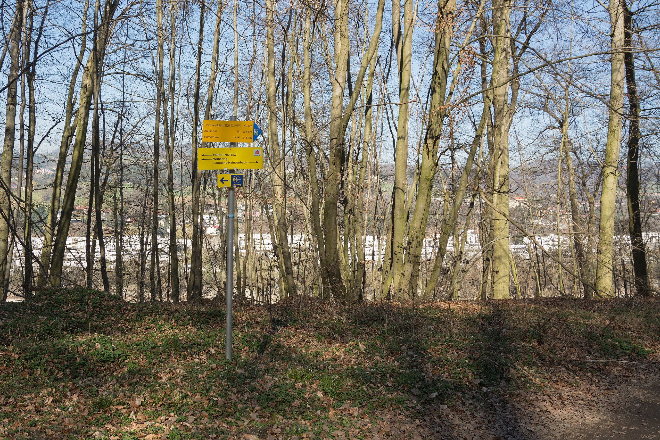
English: Hiking and footpath signs in Wilhering (Upper austria). The Donausteig also passes this point. If one wants to go from there to Santiage de Compostella, then the St. James´s Way is recommended. Deutsch: Wegweiser am Prinzensteig in Wilhering (Oberösterreich). Hier geht auch der Donausteig vorbei. Falls man nach Santiago de Compostella gehen will, empfiehlt sich der Jakobsweg. |
| Date | |
| Source | Own work |
| Author | Isiwal |
| Camera location | | View this and other nearby images on: OpenStreetMap |
|---|
Licensing
edit
This file is licensed under the Creative Commons Attribution-Share Alike 3.0 Unported license.
Attribution: Walter Isack / Wikimedia Commons / CC-BY-SA-3.0
- You are free:
- to share – to copy, distribute and transmit the work
- to remix – to adapt the work
- Under the following conditions:
- attribution – You must give appropriate credit, provide a link to the license, and indicate if changes were made. You may do so in any reasonable manner, but not in any way that suggests the licensor endorses you or your use.
- share alike – If you remix, transform, or build upon the material, you must distribute your contributions under the same or compatible license as the original.
File history
Click on a date/time to view the file as it appeared at that time.
| Date/Time | Thumbnail | Dimensions | User | Comment | |
|---|---|---|---|---|---|
| current | 17:04, 16 March 2014 | | 5,390 × 3,593 (5.53 MB) | Isiwal (talk | contribs) | CA removed, crop |
| 16:54, 16 March 2014 |  | 6,000 × 4,000 (3.32 MB) | Isiwal (talk | contribs) | VicuñaUploader 1.20 |
You cannot overwrite this file.
File usage on Commons
The following page uses this file: