File:DEU Leopoldshöhe COA.svg

Size of this PNG preview of this SVG file: 505 × 599 pixels. Other resolutions: 202 × 240 pixels | 404 × 480 pixels | 647 × 768 pixels | 863 × 1,024 pixels | 1,726 × 2,048 pixels | 600 × 712 pixels.
Original file (SVG file, nominally 600 × 712 pixels, file size: 9 KB)
Captions
Captions
Add a one-line explanation of what this file represents
| Description |
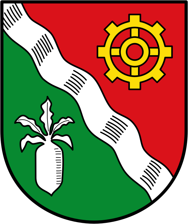
English: Coat of arms of the Town de:Leopoldshöhe |
|||
| Date | ||||
| Source | ||||
| Author | TUBS | |||
| Permission (Reusing this file) |
|
|||
| Other versions |
 |

File history
Click on a date/time to view the file as it appeared at that time.
| Date/Time | Thumbnail | Dimensions | User | Comment | |
|---|---|---|---|---|---|
| current | 13:41, 21 February 2022 | | 600 × 712 (9 KB) | Jürgen Krause (talk | contribs) | code cleaned |
| 11:32, 22 February 2010 |  | 400 × 476 (57 KB) | Hagar66 (talk | contribs) | {{Information |Description= |Source= |Date= |Author= |Permission= |other_versions= }} | |
| 22:58, 20 October 2008 |  | 400 × 476 (35 KB) | Ludger1961 (talk | contribs) | korrigierte Fassung | |
| 22:55, 20 October 2008 |  | 400 × 476 (35 KB) | Ludger1961 (talk | contribs) | modifiziert Zahnrad, Rübe, Schildrahmen | |
| 21:51, 16 October 2008 |  | 547 × 650 (13 KB) | TUBS (talk | contribs) | {{Information |Description={{en|Coat of arms of the Town de:Leopoldshöhe}} |Source=Image:LeopoldshöheKlein.jpg |Date=2008 |Author=TUBS |Permission={{PD-Coa-Germany}} |other_versions=60px }} [[Category:Coats of |
You cannot overwrite this file.
File usage on Commons
The following 9 pages use this file:
File usage on other wikis
The following other wikis use this file:
- Usage on be.wikipedia.org
- Usage on ce.wikipedia.org
- Usage on de.wikipedia.org
- Leopoldshöhe
- Benutzer Diskussion:Ludger1961
- Asemissen
- Liste der Wappen im Kreis Lippe
- Windwehe
- Vorlage:Navigationsleiste Ortsteile der Gemeinde Leopoldshöhe
- Bechterdissen
- Bexterhagen
- Greste
- Krentrup
- Nienhagen (Leopoldshöhe)
- Schuckenbaum
- Gut Eckendorf
- Grüte
- Leopoldshöhe (Ortsteil)
- Liste der Orte im Kreis Lippe
- Vorlage:Navigationsleiste Naturschutzgebiete in Leopoldshöhe
- Windwehetal
- Heipker See (Naturschutzgebiet)
- Landschaftsschutzgebiet Grütebach östlich Niederbarkhausen
- Vorlage:Navigationsleiste Landschaftsschutzgebiete in Leopoldshöhe
- Landschaftsschutzgebiet Siekbachtal östlich Grester Feld
- Landschaftsschutzgebiet Windwehetal und Seitentäler
- Landschaftsschutzgebiet Evenhauser Holz
- Landschaftsschutzgebiet Kleibusch (Leopoldshöhe)
- Landschaftsschutzgebiet Pansbach mit Krähenholz und Hinnaksteich
- Landschaftsschutzgebiet Sussieksbach und Wohlbrede
- Landschaftsschutzgebiet Tal des Eselbaches
- Usage on en.wikipedia.org
- Usage on eo.wikipedia.org
- Usage on es.wikipedia.org
- Usage on eu.wikipedia.org
- Usage on fa.wikipedia.org
- Usage on fr.wikipedia.org
- Usage on hu.wikipedia.org
- Usage on it.wikipedia.org
- Usage on ja.wikipedia.org
- Usage on ku.wikipedia.org
- Usage on lld.wikipedia.org
- Usage on nds.wikipedia.org
- Usage on nl.wikipedia.org
- Usage on pl.wikipedia.org
- Usage on pt.wikipedia.org
- Usage on ro.wikipedia.org
View more global usage of this file.