File:Location Map Asia.svg

Size of this PNG preview of this SVG file: 788 × 600 pixels. Other resolutions: 316 × 240 pixels | 631 × 480 pixels | 1,009 × 768 pixels | 1,280 × 974 pixels | 2,560 × 1,948 pixels | 1,100 × 837 pixels.
Original file (SVG file, nominally 1,100 × 837 pixels, file size: 899 KB)
Captions
Captions
Add a one-line explanation of what this file represents
Summary edit
| Description |
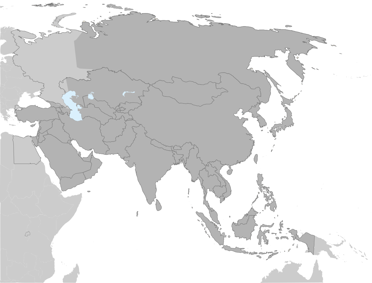
English: A locator SVG map of Asia with national borders, based off of file:Asie.svg. |
| Date | |
| Source | Own work |
| Author | Haha169 |
| Other versions |
Derivative works of this file: |
Licensing edit
| I, the copyright holder of this work, release this work into the public domain. This applies worldwide. In some countries this may not be legally possible; if so: I grant anyone the right to use this work for any purpose, without any conditions, unless such conditions are required by law. |
File history
Click on a date/time to view the file as it appeared at that time.
| Date/Time | Thumbnail | Dimensions | User | Comment | |
|---|---|---|---|---|---|
| current | 18:18, 4 September 2022 | | 1,100 × 837 (899 KB) | Рагин1987 (talk | contribs) | Correction |
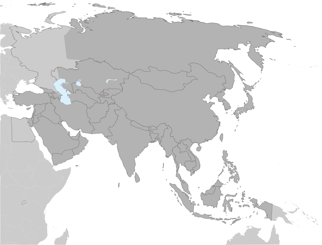
| 20:12, 30 August 2022 |  | 2,560 × 1,948 (828 KB) | Рагин1987 (talk | contribs) | More correct visualization of the dividing line on the territory of the Caucasus Range | |
| 18:53, 2 October 2021 |  | 1,100 × 837 (883 KB) | Hogweard (talk | contribs) | South Sudan border | |
| 02:29, 5 May 2009 |  | 1,100 × 837 (881 KB) | Haha169 (talk | contribs) | {{Information |Description={{en|1=A locator SVG map of Asia, based off of file:Asie.svg.}} |Source=Own work by uploader |Author=Haha169 |Date=2009-05-04 |Permission= |other_versions= }} <!--{{ImageUpload|full}}--> |
You cannot overwrite this file.
File usage on Commons
The following 4 pages use this file:
_with_modern_borders.png)
File usage on other wikis
The following other wikis use this file:
- Usage on en.wikipedia.org
- Usage on ko.wikipedia.org