Category:1800 U.S. presidential election maps
Media in category "1800 U.S. presidential election maps"
The following 13 files are in this category, out of 13 total.
-
 PresidentialCounty1800Colorbrewer.gif 2,800 × 1,700; 64 KB
-
 1800 United States presidential election by county.svg 800 × 773; 18.01 MB
-
 1800 United States presidential election by electoral districts.svg 800 × 773; 15.16 MB
-
 1801ContingentElection.png 1,920 × 1,580; 302 KB
-
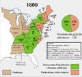 ElectoralCollege1800-fr.png 675 × 636; 56 KB
-
 ElectoralCollege1800-Large.png 675 × 636; 61 KB
-
 ElectoralCollege1800.svg 542 × 446; 44 KB
-
 Elezioni presidenziali USA del 1800.svg 600 × 565; 442 KB
-
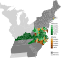
 North Carolina Presidential Election Results 1800.svg 800 × 354; 1.73 MB
-
 PresidentialCounty1800.gif 2,800 × 2,200; 109 KB
-
 PresidentialCounty1800Colorbrewer.png 1,198 × 1,274; 50 KB
-
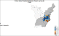
 Rhode Island Presidential Election Results 1800.png 800 × 1,177; 73 KB
-
 Rhode Island Presidential Election Results 1800.svg 810 × 810; 13 KB


