Category:2009 maps of the United States
States of the United States: Alabama · Arkansas · California · Florida · Maine · Massachusetts · Pennsylvania · South Carolina · Virginia – Washington, D.C.
Subcategories
This category has the following 11 subcategories, out of 11 total.
A
- 2009 maps of Alabama (3 F)
- 2009 maps of Arkansas (1 F)
C
D
F
- 2009 maps of Florida (11 F)
M
- 2009 maps of Maine (1 F)
- 2009 maps of Massachusetts (2 F)
P
S
- 2009 maps of South Carolina (2 F)
V
- 2009 maps of Virginia (1 F)
Media in category "2009 maps of the United States"
The following 8 files are in this category, out of 8 total.
-
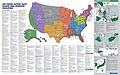 Air Force Facilities.jpg 2,400 × 1,500; 2.63 MB
-
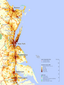 Boswash.png 2,000 × 2,667; 1.81 MB
-

-
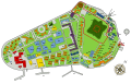 Governor's Island.svg 700 × 450; 334 KB
-
 Homebirth State Data 2009.png 727 × 400; 95 KB
-
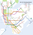 NYC subway-4D.svg 512 × 553; 2.63 MB
-
-
 VERTCON.png 900 × 857; 441 KB


