Category:Maps of Sennestadt
Wikimedia category | |||||
| Upload media | |||||
| Instance of | |||||
|---|---|---|---|---|---|
| Category combines topics | |||||
| Sennestadt | |||||
quarter of Bielefeld, Germany    | |||||
| Instance of |
| ||||
| Location | Sennestadt, Bielefeld, Detmold Government Region, North Rhine-Westphalia, Germany | ||||
| Population |
| ||||
| Area |
| ||||
| Elevation above sea level |
| ||||
| official website | |||||
 | |||||
Media in category "Maps of Sennestadt"
The following 16 files are in this category, out of 16 total.
-
 Altgemeinde Sende.svg 542 × 468; 89 KB
-
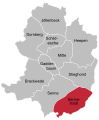
 Bezirk Sennestadt in Bielefeld.svg 1,331 × 1,331; 3.76 MB
-
 Bezirke Bielefeld - Sennestadt Eckardtsheim.svg 584 × 700; 174 KB
-
 Bezirke Bielefeld - Sennestadt-Dalbke.svg 584 × 700; 79 KB
-
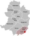
 Bezirke Bielefeld - Sennestadt.svg 972 × 1,178; 166 KB
-
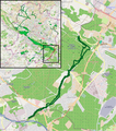
 Bielefeld - NSG Eichen-Buchenwald-Strothbach - Map.png 681 × 645; 351 KB
-
 Bielefeld - NSG Esselhofer Bruch - Map.png 736 × 709; 423 KB
-
 Bielefeld - NSG Hasselbachaue - Map.png 723 × 792; 480 KB
-
 Bielefeld - NSG Markengrund - Map.png 852 × 1,060; 623 KB
-
 Bielefeld - NSG Menkhauser Bachtal - Map.png 895 × 1,017; 1.07 MB
-
 Bielefeld - NSG Sprungbach Oberlauf - Map.png 796 × 773; 461 KB
-
 Bielefeld - NSG Sprungbach-Mittellauf - Map.png 956 × 645; 471 KB
-
 Bielefeld - NSG Östlicher Teutoburger Wald (LP BI-Senne) - Map.png 909 × 553; 811 KB
-
 Stadtteil Dalbke in Bielefeld.svg 1,331 × 1,331; 3.75 MB
-
 Stadtteil Eckardtsheim in Bielefeld.svg 1,331 × 1,331; 3.75 MB
-
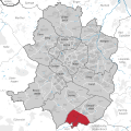
 Stadtteil Sennestadt in Bielefeld.svg 1,331 × 1,331; 3.75 MB


_-_Map.png)


