Category:Maps of census statistical areas in Texas
States of the United States: Alabama · Alaska · Arizona · Arkansas · California · Colorado · Connecticut · Delaware · Florida · Georgia · Idaho · Illinois · Indiana · Iowa · Kansas · Kentucky · Louisiana · Maine · Maryland · Massachusetts · Michigan · Minnesota · Mississippi · Missouri · Montana · Nebraska · Nevada · New Hampshire · New Jersey · New Mexico · New York · North Carolina · North Dakota · Ohio · Oklahoma · Oregon · Pennsylvania · Rhode Island · South Carolina · South Dakota · Tennessee · Texas · Utah · Vermont · Virginia · Washington · West Virginia · Wisconsin
Puerto Rico
Puerto Rico
Subcategories
This category has only the following subcategory.
Media in category "Maps of census statistical areas in Texas"
The following 19 files are in this category, out of 19 total.
-
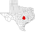 Austin MSA.png 491 × 455; 9 KB
-
 Austin-Round Rock MSA.png 491 × 455; 9 KB
-
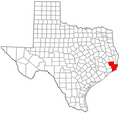 BeaumontPortArthurMetro.png 301 × 284; 35 KB
-
 College Station-Bryan MSA.png 491 × 455; 9 KB
-
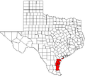
 Corpus Christi MSA.png 491 × 455; 9 KB
-
 Corpus Christi-Kingsville CSA.png 491 × 455; 9 KB
-
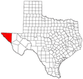
 El Paso-Las Cruces CSA.png 615 × 550; 44 KB
-
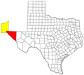
 ElPaso Merropolitan Area.png 579 × 550; 43 KB
-
 Houston-Baytown-Huntsville CSA.png 579 × 550; 57 KB
-
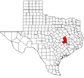
 KTFH MSA.png 491 × 455; 9 KB
-
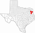
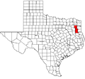 Longview MSA.png 491 × 455; 9 KB
-
 Longview-Marshall CSA.PNG 300 × 284; 15 KB
-
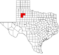 Lubbock MSA.png 491 × 455; 16 KB
-
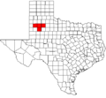 Lubbock-Levelland CSA.png 491 × 455; 13 KB
-
 Pampa Micropolitan Area.png 579 × 550; 43 KB
-
 San Angelo MSA.png 491 × 455; 9 KB
-
 San Antonio MSA.png 491 × 455; 9 KB
-
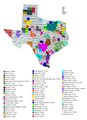 Texas CBSAs 2020.png 5,316 × 7,341; 2.31 MB
-
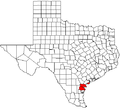
 Victoria Metropolitan Area.png 579 × 550; 43 KB


