File:ТУ4-1984, Россия, Ярославская область, станция Переславль (Trainpix 26691).jpg

Size of this preview: 800 × 517 pixels. Other resolutions: 320 × 207 pixels | 640 × 413 pixels | 1,024 × 661 pixels | 1,200 × 775 pixels.
Original file (1,200 × 775 pixels, file size: 292 KB, MIME type: image/jpeg)
Captions
Captions
Add a one-line explanation of what this file represents
Summary
edit.jpg&action=edit§ion=1)
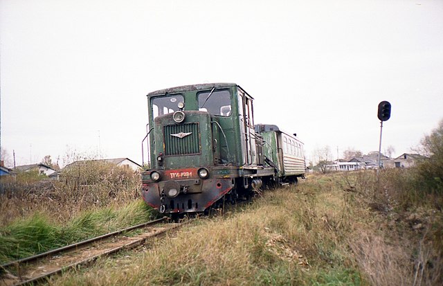
| Photographer |
Артём Светлов |
| Description |
Русский: ТУ4-1984 |
| Depicted place |
Русский: Россия, Ярославская область, станция Переславль |
| Date | 1 March 2012, 20:39 CET |
| Source | archive copy at the Wayback Machine |
| Permission (Reusing this file) |
BY-SA |
| Category | Русский: Маневровые тепловозы |
| Built | 1969 |
| Registration railway | Русский: Северная железная дорога |
| Depot | Русский: Купанское транспортное управление |
| Model | Русский: ТУ4 |
| Status | Русский: Передан в другое депо дороги Памятник/музейный экспонат/тренажёр |
| Manufacturer | Русский: Камбарский машиностроительный завод · Камбарка |
Licensing
edit.jpg&action=edit§ion=2)
This file is licensed under the Creative Commons Attribution-Share Alike 3.0 Unported license.
- You are free:
- to share – to copy, distribute and transmit the work
- to remix – to adapt the work
- Under the following conditions:
- attribution – You must give appropriate credit, provide a link to the license, and indicate if changes were made. You may do so in any reasonable manner, but not in any way that suggests the licensor endorses you or your use.
- share alike – If you remix, transform, or build upon the material, you must distribute your contributions under the same or compatible license as the original.
File history
Click on a date/time to view the file as it appeared at that time.
| Date/Time | Thumbnail | Dimensions | User | Comment | |
|---|---|---|---|---|---|
| current | 19:10, 20 February 2018 | | 1,200 × 775 (292 KB) | Fæ (talk | contribs) | Trainpix 0026691 |
You cannot overwrite this file.
File usage on Commons
The following page uses this file:
.jpg)
.jpg&oldid=861245651)