File:A Plan of the Straits of St. Mary, and Michilimakinac, to shew the situation & importance of the two westernmost settlements of Canada for the fur trade. LOC 73694801.tif

Size of this JPG preview of this TIF file: 765 × 599 pixels. Other resolutions: 307 × 240 pixels | 613 × 480 pixels | 981 × 768 pixels | 1,280 × 1,003 pixels | 2,560 × 2,005 pixels | 4,237 × 3,319 pixels.
Original file (4,237 × 3,319 pixels, file size: 40.23 MB, MIME type: image/tiff)
Captions
Captions
Add a one-line explanation of what this file represents
Summary
edit| Description |
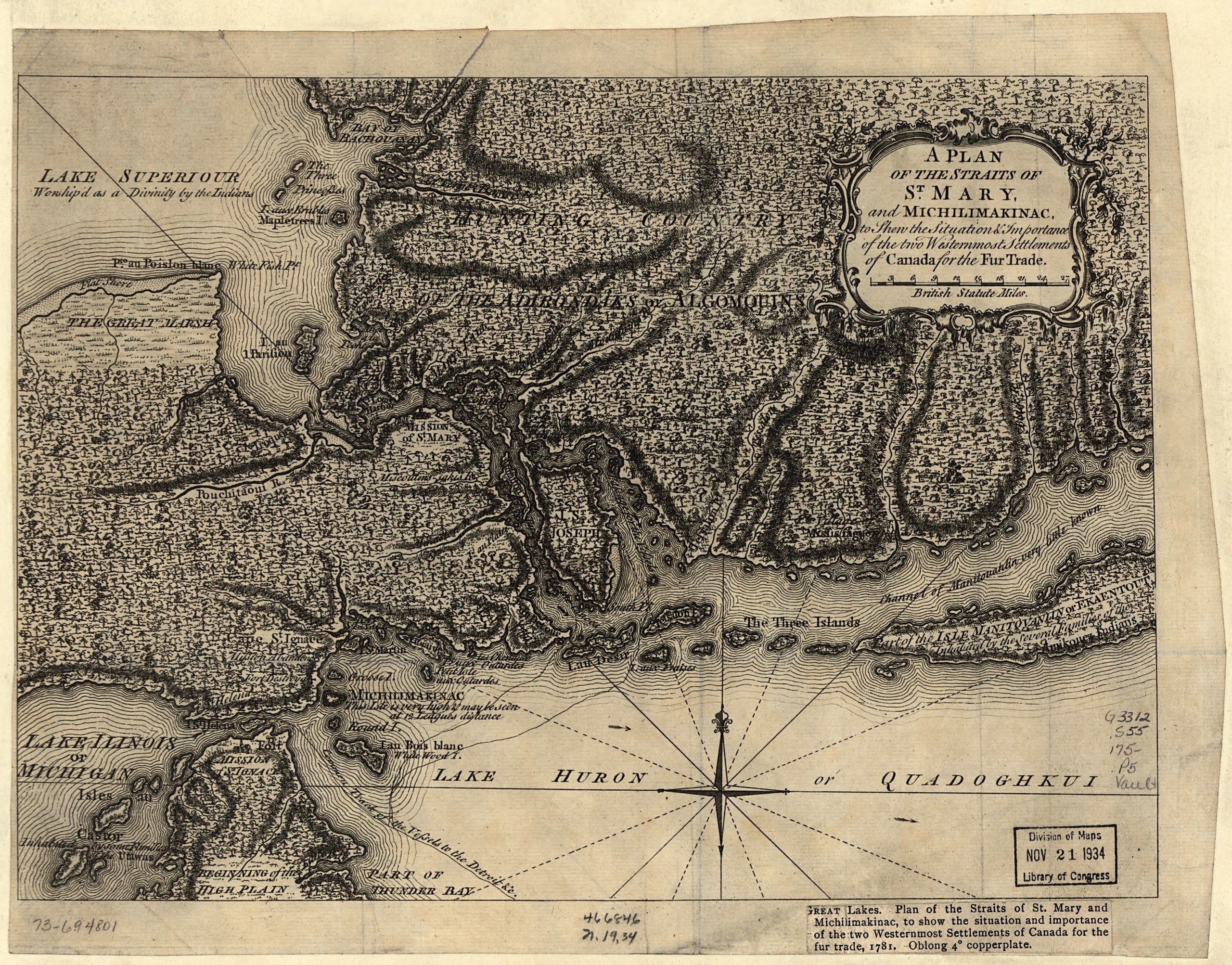
English: Scale ca. 1:75,000. LC copy has printed title with incorrect date [i.e. 1781] glued in lower right margin. LC Maps of North America, 1750-1789, 770 Available also through the Library of Congress Web site as a raster image. Vault AACR2 |
||
| Title | A Plan of the Straits of St. Mary, and Michilimakinac, to shew the situation & importance of the two westernmost settlements of Canada for the fur trade. | ||
| Shelf ID | G3312.S55 175- .P5 | ||
| Date | |||
| Source | https://www.loc.gov/item/73694801/ | ||
| Author | Unknown author | ||
| Permission (Reusing this file) |
|
||
| Other versions |
|
||
| Location | Canada · Ontario · Michigan · United States · Saint Marys River · Saint Marys River Region | ||
| Part of | France In America · Military Battles And Campaigns · Catalog · American Memory · Geography And Map Division · American Revolution And Its Era: Maps And Charts Of North America And The West Indies, 1750-1789 | ||
| Subject | Canada · Ontario · Michigan · Saint Marys River (Mich. And Ont.) · United States · Maps · Early Works To 1800 · Saint Marys River Region (Mich. And Ont.) · Saint Marys River Region |


Licensing
edit|
This is a faithful photographic reproduction of a two-dimensional, public domain work of art. The work of art itself is in the public domain for the following reason:
The official position taken by the Wikimedia Foundation is that "faithful reproductions of two-dimensional public domain works of art are public domain".
This photographic reproduction is therefore also considered to be in the public domain in the United States. In other jurisdictions, re-use of this content may be restricted; see Reuse of PD-Art photographs for details. | ||||
File history
Click on a date/time to view the file as it appeared at that time.
| Date/Time | Thumbnail | Dimensions | User | Comment | |
|---|---|---|---|---|---|
| current | 22:17, 9 May 2018 |  | 4,237 × 3,319 (40.23 MB) | Fæ (talk | contribs) | LOC Maps https://www.loc.gov/item/73694801/ #124 |
You cannot overwrite this file.
File usage on Commons
The following page uses this file: