File:A vintage barn at Shasta State Historic Park in the now-deserted town of Shasta City, west of Redding, California LCCN2013630792.tif

Size of this JPG preview of this TIF file: 800 × 534 pixels. Other resolutions: 320 × 214 pixels | 640 × 427 pixels | 1,024 × 683 pixels | 1,280 × 854 pixels | 2,560 × 1,709 pixels | 7,360 × 4,912 pixels.
Original file (7,360 × 4,912 pixels, file size: 206.9 MB, MIME type: image/tiff)
Captions
Captions
Add a one-line explanation of what this file represents
Summary
edit| Description |
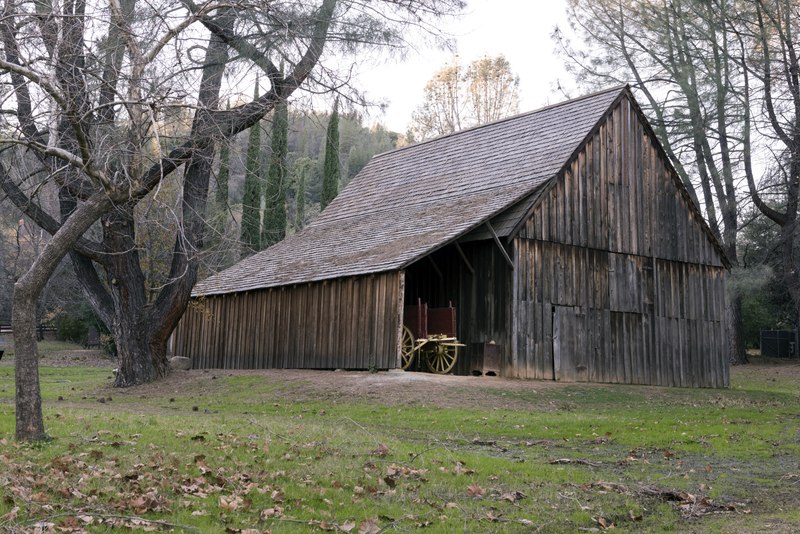
English: Title: A vintage barn at Shasta State Historic Park in the now-deserted town of Shasta City, west of Redding, California
Physical description: 1 photograph : digital, tiff file, color. Notes: Title, date, and keywords provided by the photographer.; There, a row of old, half-ruined, brick buildings reminds passing motorists that Shasta City, the lusty "Queen City" of California's northern mining district, once stood on this site. These ruins and some of the nearby roads, cottages, and cemeteries are all silent but eloquent vestiges of the intense activity that was centered here during the California gold rush.; Credit line: The Jon B. Lovelace Collection of California Photographs in Carol M. Highsmith's America Project, Library of Congress, Prints and Photographs Division.; Forms part of: Jon B. Lovelace Collection of California Photographs in Carol M. Highsmith's America Project in the Carol M. Highsmith Archive.; Gift; The Capital Group Companies Charitable Foundation in memory of Jon B. Lovelace; 2012; (DLC/PP-2012:063). |
||||||||||||||||||||||||||
| Date | Taken on 9 December 2012, 16:25 (according to Exif data) | ||||||||||||||||||||||||||
| Source |
Library of Congress
|
||||||||||||||||||||||||||
| Author |
|
||||||||||||||||||||||||||
| Permission (Reusing this file) |
No known restrictions on publication.
|
||||||||||||||||||||||||||


| Camera location | | View this and other nearby images on: OpenStreetMap |
|---|
Licensing
edit| This work is from the Carol M. Highsmith Archive collection at the Library of Congress. According to the library, there are no known copyright restrictions on the use of this work. Carol M. Highsmith has stipulated that her photographs are in the public domain. Photographs of sculpture or other works of art may be restricted by the copyright of the artist; see Commons:FOP US#Artworks and sculptures for more information. |
 |
File history
Click on a date/time to view the file as it appeared at that time.
| Date/Time | Thumbnail | Dimensions | User | Comment | |
|---|---|---|---|---|---|
| current | 17:23, 23 September 2016 |  | 7,360 × 4,912 (206.9 MB) | Fæ (talk | contribs) | LOC 2013630792, Carol M. Highsmith collection. P4946.19750 TIFF (206.9mb) |
| 17:22, 23 September 2016 |  | 7,360 × 4,912 (206.9 MB) | Fæ (talk | contribs) | LOC 2013630792, Carol M. Highsmith collection. P4946.19750 TIFF (206.9mb) |
You cannot overwrite this file.
File usage on Commons
The following page uses this file: