File:An exact plan of the city, fortifications & harbour of Havana in the island of Cuba LOC 2010593342.tif

Size of this JPG preview of this TIF file: 781 × 599 pixels. Other resolutions: 313 × 240 pixels | 626 × 480 pixels | 1,001 × 768 pixels | 1,280 × 982 pixels | 2,560 × 1,965 pixels | 5,615 × 4,309 pixels.
Original file (5,615 × 4,309 pixels, file size: 69.22 MB, MIME type: image/tiff)
Captions
Captions
Add a one-line explanation of what this file represents
Summary
edit| Description |
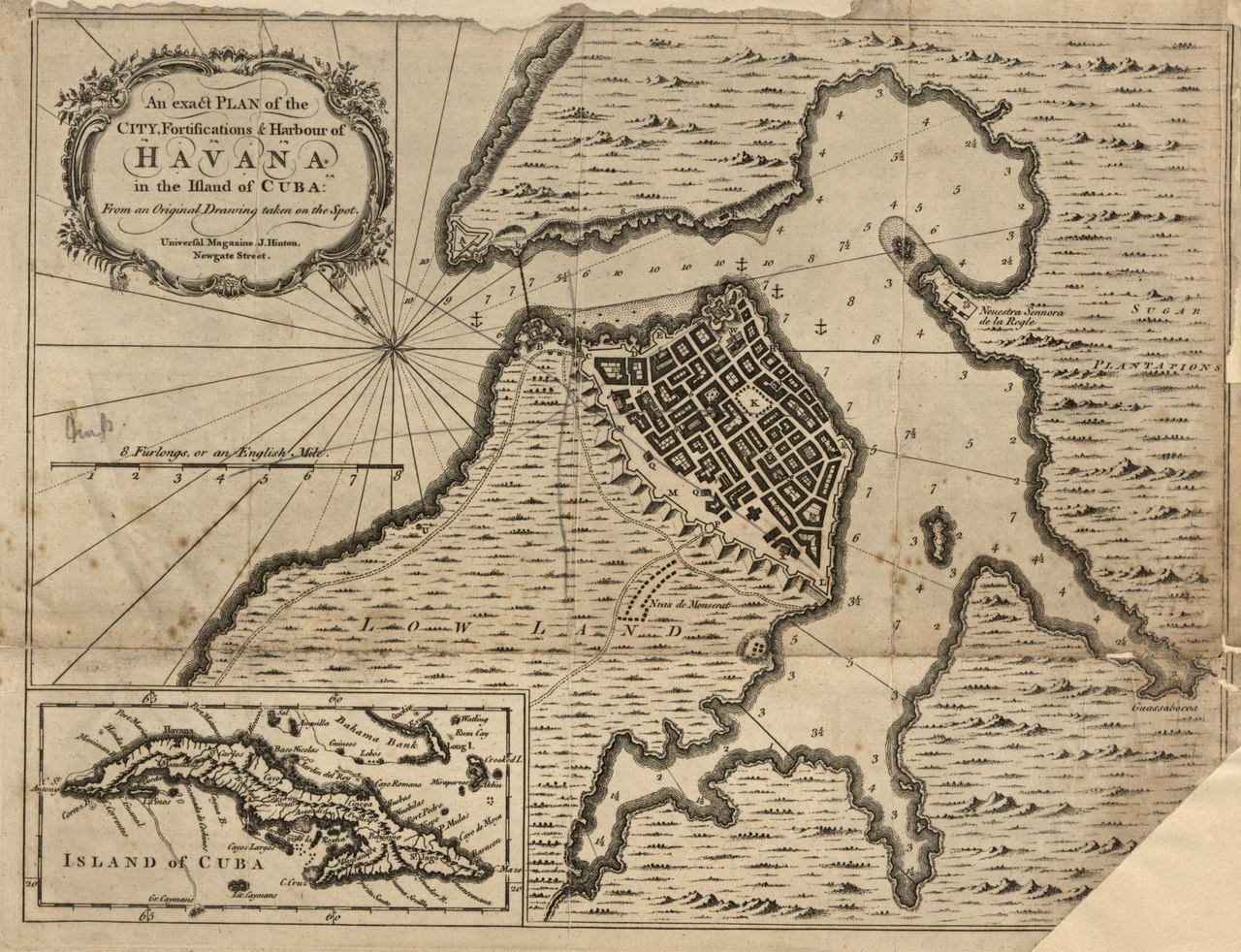
English: Relief shown pictorially. Depths shown by soundings. From Universal magazine of knowledge and pleasure. May 1762, v. 30. LC Maps of North America, 1750-1789, 1814 Available also through the Library of Congress Web site as a raster image. Includes ancillary map of "Island of Cuba." LC copy imperfect: Portions in upper margin, right margin, and lower right corner missing. |
||
| Title | An exact plan of the city, fortifications & harbour of Havana in the island of Cuba | ||
| Shelf ID | G4924.H3 1762 .E9 | ||
| Date | |||
| Source | https://www.loc.gov/item/2010593342/ | ||
| Author | Unknown author | ||
| Permission (Reusing this file) |
|
||
| Other versions |
|
||
| Location | Havana · Cuba | ||
| Part of | Military Battles And Campaigns · American Memory · Catalog · Geography And Map Division · American Revolution And Its Era: Maps And Charts Of North America And The West Indies, 1750-1789 | ||
| Subject | Havana · Cuba · Fortification · Early Works To 1800 · Early Maps · Maps · Havana (Cuba) · Harbors |


Licensing
edit|
This is a faithful photographic reproduction of a two-dimensional, public domain work of art. The work of art itself is in the public domain for the following reason:
The official position taken by the Wikimedia Foundation is that "faithful reproductions of two-dimensional public domain works of art are public domain".
This photographic reproduction is therefore also considered to be in the public domain in the United States. In other jurisdictions, re-use of this content may be restricted; see Reuse of PD-Art photographs for details. | ||||
File history
Click on a date/time to view the file as it appeared at that time.
| Date/Time | Thumbnail | Dimensions | User | Comment | |
|---|---|---|---|---|---|
| current | 20:52, 23 July 2018 |  | 5,615 × 4,309 (69.22 MB) | Fæ (talk | contribs) | LOC Maps https://www.loc.gov/item/2010593342/ #10016 |
You cannot overwrite this file.
File usage on Commons
The following page uses this file:
File usage on other wikis
The following other wikis use this file:
- Usage on en.wikipedia.org