File:Atlas of fifteen miles around Baltimore, including Anne Arundel County, Maryland. LOC 73151435-10.jpg

Size of this preview: 800 × 523 pixels. Other resolutions: 320 × 209 pixels | 640 × 419 pixels | 1,024 × 670 pixels | 1,280 × 837 pixels | 2,560 × 1,674 pixels | 7,746 × 5,066 pixels.
Original file (7,746 × 5,066 pixels, file size: 3.1 MB, MIME type: image/jpeg)
Captions
Captions
Add a one-line explanation of what this file represents
Summary
edit| Description |
English: Many pages blank. "Map of the city of Baltimore, Maryland, 1877": p. [76]-[77] Available also through the Library of Congress Web site as a raster image. |
|||||||||||||||||||||||||
| Title | Atlas of fifteen miles around Baltimore, including Anne Arundel County, Maryland. | |||||||||||||||||||||||||
| Shelf ID | G1273.A5 H6 1878 | |||||||||||||||||||||||||
| Parent | https://www.loc.gov/resource/g3843am.gct00071/ | |||||||||||||||||||||||||
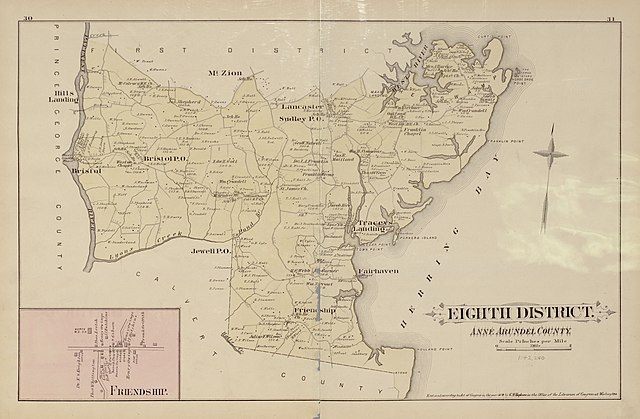
| Sheet title | Eighth District; Friendship | |||||||||||||||||||||||||
| Date | ||||||||||||||||||||||||||
| Source | https://www.loc.gov/item/73151435/ | |||||||||||||||||||||||||
| Author |
|
|||||||||||||||||||||||||
| Permission (Reusing this file) |
|
|||||||||||||||||||||||||
| Other versions |
|
|||||||||||||||||||||||||
| Location | United States · Anne Arundel County · Maryland · Baltimore Suburban Area · Baltimore County | |||||||||||||||||||||||||
| Part of | American Memory · Catalog · County Landownership Maps · Geography And Map Division · Cultural Landscapes | |||||||||||||||||||||||||
| Subject | Baltimore Suburban Area (Md.) · Baltimore County (Md.) · Baltimore County · United States · Maps · Anne Arundel County · Real Property · Baltimore Suburban Area · Anne Arundel County (Md.) · Maryland · History | |||||||||||||||||||||||||


Licensing
edit
|
This is a faithful photographic reproduction of a two-dimensional, public domain work of art. The work of art itself is in the public domain for the following reason:
The official position taken by the Wikimedia Foundation is that "faithful reproductions of two-dimensional public domain works of art are public domain".
This photographic reproduction is therefore also considered to be in the public domain in the United States. In other jurisdictions, re-use of this content may be restricted; see Reuse of PD-Art photographs for details. | ||||
File history
Click on a date/time to view the file as it appeared at that time.
| Date/Time | Thumbnail | Dimensions | User | Comment | |
|---|---|---|---|---|---|
| current | 09:59, 18 July 2018 | | 7,746 × 5,066 (3.1 MB) | Fæ (talk | contribs) | LOC Maps multisheet https://www.loc.gov/item/73151435/ sheet 10 of 25 #24557 |
You cannot overwrite this file.
File usage on Commons
The following page uses this file: