File:Ban Rak Thai Mae Hong Sorn Thailand (125159297).jpeg
Size of this preview: 800 × 450 pixels. Other resolutions: 320 × 180 pixels | 640 × 360 pixels | 1,024 × 576 pixels | 1,280 × 720 pixels | 1,920 × 1,080 pixels.
Original file (1,920 × 1,080 pixels, file size: 373 KB, MIME type: image/jpeg)
Captions
Captions
Add a one-line explanation of what this file represents
Summary
edit.jpeg&action=edit§ion=1)
| Ban Rak Thai Mae Hong Sorn Thailand | |
|---|---|
| Photographer | |
| Title |
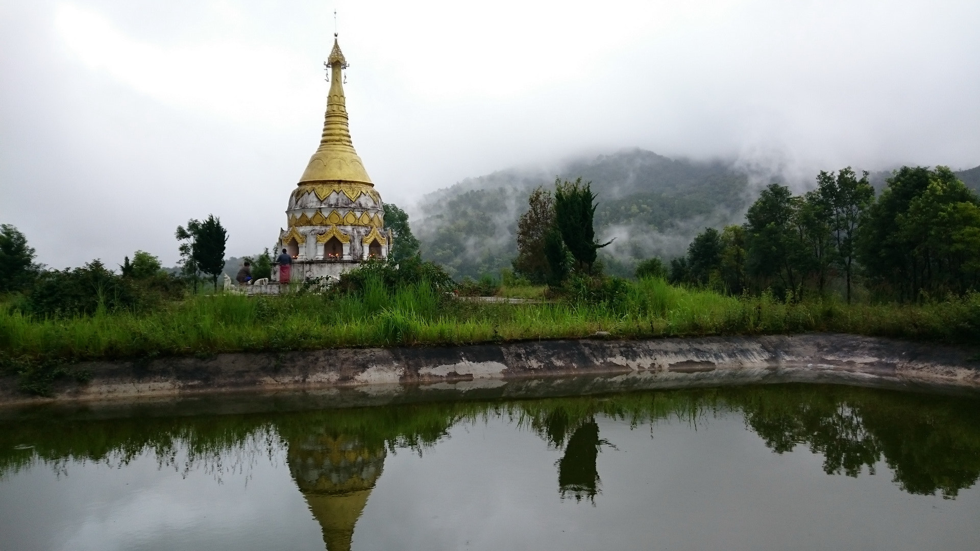
Ban Rak Thai Mae Hong Sorn Thailand |
| Description |
500px provided description: Ban Rak Thai, Mae Hong Sorn, Northern Thailand. [#Thailand ,#Mae Hong Sorn ,#Nature Scene] |
| Date | 12 October 2015, 11:32:55 (UTC) |
| Source | Imported from 500px (archived version) by the Archive Team. (detail page) |
| Permission (Reusing this file) |
This file is licensed under the Creative Commons Attribution-Share Alike 3.0 Unported license.
|
| Camera location | | View this and other nearby images on: OpenStreetMap |
|---|
.jpeg¶ms=018.784767_N_0098.110657_E_globe:Earth_type:camera__&language=en)
File history
Click on a date/time to view the file as it appeared at that time.
| Date/Time | Thumbnail | Dimensions | User | Comment | |
|---|---|---|---|---|---|
| current | 19:32, 7 November 2018 | | 1,920 × 1,080 (373 KB) | Rodrigo.Argenton (talk | contribs) | Photo Ban Rak Thai Mae Hong Sorn Thailand imported from 500px with import-500px |
You cannot overwrite this file.
File usage on Commons
The following page uses this file:
.jpeg)
File usage on other wikis
The following other wikis use this file:
- Usage on zh.wikipedia.org
.jpeg&oldid=816210704)