File:Bodie is a ghost town in the Bodie Hills east of the Sierra Nevada mountain range in Mono County, California LCCN2013632947.tif
Original file (5,808 × 4,001 pixels, file size: 133 MB, MIME type: image/tiff)
Captions
Summary
editDescriptionBodie is a ghost town in the Bodie Hills east of the Sierra Nevada mountain range in Mono County, California LCCN2013632947.tif |
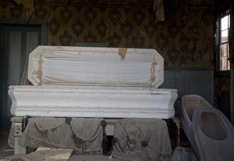
English: Title: Bodie is a ghost town in the Bodie Hills east of the Sierra Nevada mountain range in Mono County, California
Physical description: 1 photograph : digital, tiff file, color. Notes: Title, date, and keywords provided by the photographer.; Credit line: The Jon B. Lovelace Collection of California Photographs in Carol M. Highsmith's America Project, Library of Congress, Prints and Photographs Division.; Gift; The Capital Group Companies Charitable Foundation in memory of Jon B. Lovelace; 2012; (DLC/PP-2012:063).; Forms part of: Jon B. Lovelace Collection of California Photographs in Carol M. Highsmith's America Project in the Carol M. Highsmith Archive.; Located about 75 miles southeast of Lake Tahoe, the town become a state historic park in 1962. |
||||||||||||||||||||||||||
Date | Taken on 23 July 2012, 13:44 (according to Exif data) | ||||||||||||||||||||||||||
Source |
Library of Congress
|
||||||||||||||||||||||||||
Author |
creator QS:P170,Q5044454 |
||||||||||||||||||||||||||
Permission (Reusing this file) |
No known restrictions on publication.
|
Camera location | 38° 12′ 41.52″ N, 119° 00′ 46.36″ W | View this and other nearby images on: OpenStreetMap | 38.211532; -119.012878 |
---|
Licensing
editPublic domainPublic domainfalsefalse |
This work is from the Carol M. Highsmith Archive collection at the Library of Congress. According to the library, there are no known copyright restrictions on the use of this work. Carol M. Highsmith has stipulated that her photographs are in the public domain. Photographs of sculpture or other works of art may be restricted by the copyright of the artist; see Commons:FOP US#Artworks and sculptures for more information. |
File history
Click on a date/time to view the file as it appeared at that time.
Date/Time | Thumbnail | Dimensions | User | Comment | |
---|---|---|---|---|---|
current | 04:57, 24 September 2016 | 5,808 × 4,001 (133 MB) | Fæ (talk | contribs) | LOC 2013632947, Carol M. Highsmith collection. P5417.20221 TIFF (133.0mb) |
You cannot overwrite this file.
File usage on Commons
The following page uses this file:
Metadata
This file contains additional information such as Exif metadata which may have been added by the digital camera, scanner, or software program used to create or digitize it. If the file has been modified from its original state, some details such as the timestamp may not fully reflect those of the original file. The timestamp is only as accurate as the clock in the camera, and it may be completely wrong.
Image title | Bodie is a ghost town in the Bodie Hills east of the Sierra Nevada mountain range in Mono County, California, United States, about 75 miles (120 km) southeast of Lake Tahoe. It is located 12 miles (19 km) east-southeast of Bridgeport, at an elevation of 8379 feet (2554 m). As Bodie Historic District, the U.S. Department of the Interior recognizes it as a National Historic Landmark. The ghost town had been administered by California State Parks since becoming a state historic park in 1962, and receives about 200,000 visitors yearly |
---|---|
Camera manufacturer | Canon |
Camera model | Canon EOS 5D Mark III |
Author | Photographer: Carol M. Highsmith |
Exposure time | 1/25 sec (0.04) |
F-number | f/11 |
ISO speed rating | 100 |
Date and time of data generation | 13:44, 23 July 2012 |
Lens focal length | 24 mm |
Latitude | 38° 12′ 41.51″ N |
Longitude | 119° 0′ 46.36″ W |
Altitude | 2,551.7 meters above sea level |
Width | 5,808 px |
Height | 4,001 px |
Bits per component |
|
Compression scheme | Uncompressed |
Pixel composition | RGB |
Image data location | 31,994 |
Orientation | Normal |
Number of components | 3 |
Number of rows per strip | 4,001 |
Bytes per compressed strip | 139,426,848 |
Horizontal resolution | 300 dpi |
Vertical resolution | 300 dpi |
Data arrangement | chunky format |
Software used | Adobe Photoshop CS5 Macintosh |
File change date and time | 23:42, 4 August 2012 |
Exposure Program | Manual |
Exif version | 2.3 |
Date and time of digitizing | 13:44, 23 July 2012 |
APEX shutter speed | 4.643856 |
APEX aperture | 6.918863 |
APEX exposure bias | 0 |
Maximum land aperture | 4 APEX (f/4) |
Subject distance | 2.26 meters |
Metering mode | Pattern |
Flash | Flash did not fire |
Color space | Uncalibrated |
Focal plane X resolution | 160 |
Focal plane Y resolution | 160 |
Focal plane resolution unit | 4 |
Custom image processing | Normal process |
Exposure mode | Manual exposure |
White balance | Auto white balance |
Scene capture type | Standard |
GPS time (atomic clock) | 20:44 |
Satellites used for measurement | 11 |
Receiver status | Measurement in progress |
Measurement mode | 3-dimensional measurement |
Measurement precision | Poor (2.4) |
Speed of GPS receiver | 0 |
Direction of movement | 0 |
Direction of image | 65,535 |
Geodetic survey data used | WGS-84 |
Bearing of destination | 0 |
Distance to destination | 0 |
GPS date | 23 July 2012 |
GPS differential correction | 0 |
GPS tag version | 2.3.0.0 |