File:Carta generale dell' America con porzione della Polinesia o parte orientale dell' Oceanica secondo le nuove scoperte ed observazioni. LOC 2004631553-9.jpg
Size of this preview: 785 × 600 pixels. Other resolutions: 314 × 240 pixels | 628 × 480 pixels | 1,005 × 768 pixels | 1,280 × 978 pixels | 2,560 × 1,956 pixels | 6,811 × 5,205 pixels.
Original file (6,811 × 5,205 pixels, file size: 2.9 MB, MIME type: image/jpeg)
Captions
Captions
Add a one-line explanation of what this file represents
Summary
edit| Description |
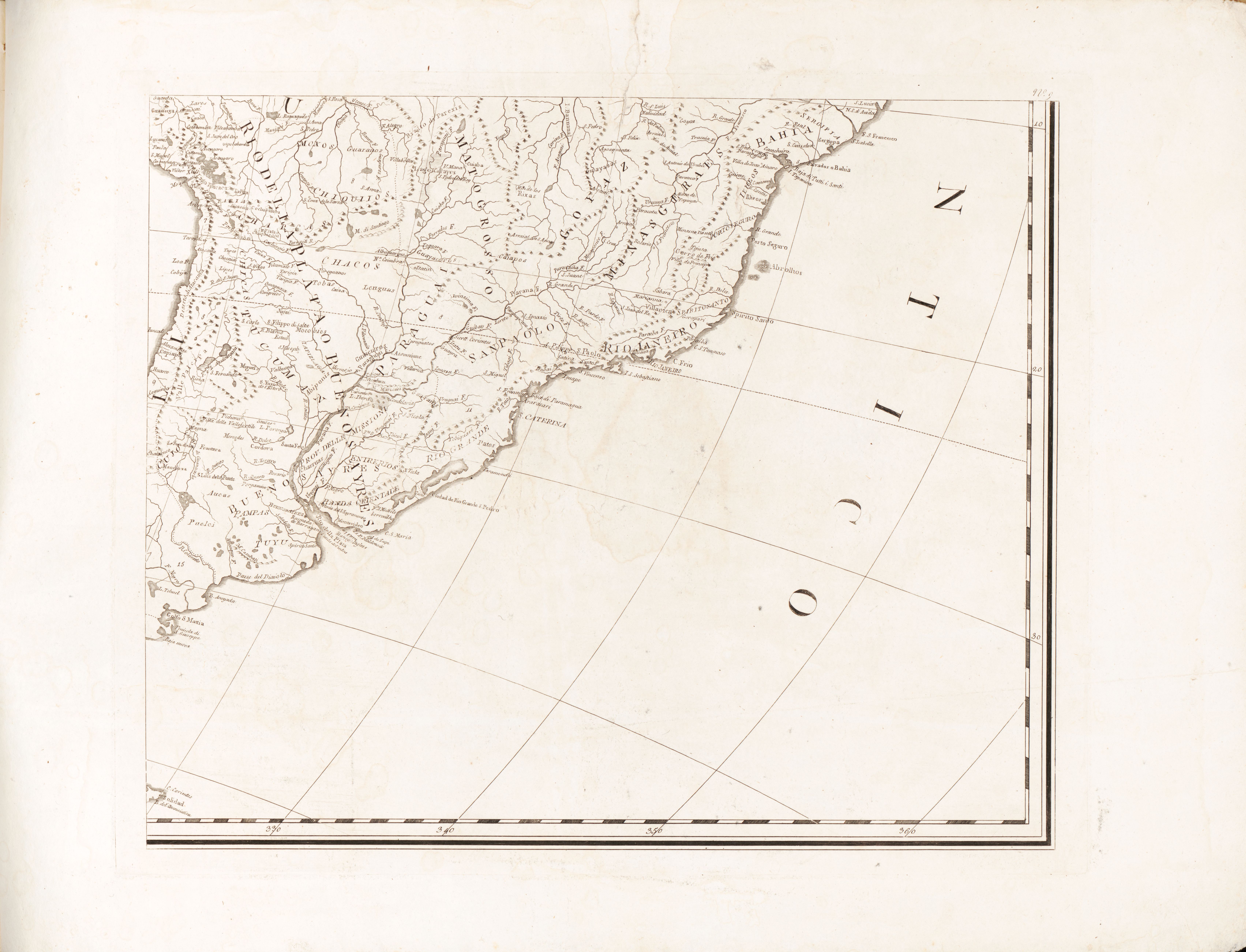
English: Relief shown pictorially. Attributed to being engraved by Bernardino Olivieri in the Catalogo delle stampe della Calcografia Camerale, Rome, 1842. Prime meridian: Paris. Plates individually numbered no. 1-9 in upper right corner. Includes numbered political division index on plate no. 7. Sheets bound; front and back cover are sheets of rice paper. Available also through the Library of Congress Web site as a raster image. Vendor: Martayan Lan Acquisitions control no. 2003-008 |
||
| Title | Carta generale dell' America con porzione della Polinesia o parte orientale dell' Oceanica secondo le nuove scoperte ed observazioni. | ||
| Shelf ID | G3290 1825 .C3 | ||
| Parent | https://www.loc.gov/resource/g3290m.gct00396/ | ||
| Sheet title | No. 9 | ||
| Date | |||
| Source | https://www.loc.gov/item/2004631553/ | ||
| Author | Olivieri, Bernardino; Calcografia Camerale (Rome, Italy) | ||
| Permission (Reusing this file) |
|
||
| Other versions |
|
||
| Location | Oceania · Oceania. · Western Hemisphere. · Western Hemisphere · Polynesia. · Polynesia | ||
| Part of | American Memory · General Maps · Catalog · Geography And Map Division | ||
| Subject | Maps · Oceania · Western Hemisphere · Polynesia |


Licensing
edit
|
This is a faithful photographic reproduction of a two-dimensional, public domain work of art. The work of art itself is in the public domain for the following reason:
The official position taken by the Wikimedia Foundation is that "faithful reproductions of two-dimensional public domain works of art are public domain".
This photographic reproduction is therefore also considered to be in the public domain in the United States. In other jurisdictions, re-use of this content may be restricted; see Reuse of PD-Art photographs for details. | ||||
File history
Click on a date/time to view the file as it appeared at that time.
| Date/Time | Thumbnail | Dimensions | User | Comment | |
|---|---|---|---|---|---|
| current | 06:28, 23 May 2018 | | 6,811 × 5,205 (2.9 MB) | Fæ (talk | contribs) | LOC Maps multisheet https://www.loc.gov/item/2004631553/ sheet 9 of 9 #1315 |
You cannot overwrite this file.
File usage on Commons
The following page uses this file: