File:Carte des Isles Antilles et du Golfe du Mexique, avec la majeure partie de la Nouvelle Espagne. LOC 74690810.jpg

Size of this preview: 800 × 366 pixels. Other resolutions: 320 × 147 pixels | 640 × 293 pixels | 1,024 × 469 pixels | 1,280 × 586 pixels | 2,560 × 1,173 pixels | 23,168 × 10,612 pixels.
Original file (23,168 × 10,612 pixels, file size: 38.44 MB, MIME type: image/jpeg)
Captions
Captions
Add a one-line explanation of what this file represents
Summary
edit| Warning | The original file is very high-resolution. It might not load properly or could cause your browser to freeze when opened at full size. |
|---|
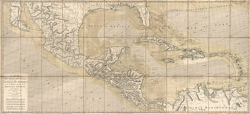
| Description |
English: Scale ca. 1:2,500,000. Hand colored. Relief shown by hachures. Shows West Indies, coasts of Southern States, Mexico, Central America, and northern South America. LC Maps of North America, 1750-1789, 1703 Available also through the Library of Congress Web site as a raster image. LC copy mounted on cloth backing. Annotated on verso: 154. Vault AACR2 |
||
| Title | Carte des Isles Antilles et du Golfe du Mexique, avec la majeure partie de la Nouvelle Espagne. | ||
| Shelf ID | G4390 1780 .B6 | ||
| Date | |||
| Source | https://www.loc.gov/item/74690810/ | ||
| Author | Bonne, Rigobert; Lattré, Jean | ||
| Permission (Reusing this file) |
|
||
| Other versions |
|
||
| Location | Caribbean Area · New Spain | ||
| Part of | Military Battles And Campaigns · American Memory · Catalog · Geography And Map Division · American Revolution And Its Era: Maps And Charts Of North America And The West Indies, 1750-1789 | ||
| Subject | Maps · Caribbean Area · New Spain · Early Works To 1800 |


Licensing
edit
|
This is a faithful photographic reproduction of a two-dimensional, public domain work of art. The work of art itself is in the public domain for the following reason:
The official position taken by the Wikimedia Foundation is that "faithful reproductions of two-dimensional public domain works of art are public domain".
This photographic reproduction is therefore also considered to be in the public domain in the United States. In other jurisdictions, re-use of this content may be restricted; see Reuse of PD-Art photographs for details. | ||||
File history
Click on a date/time to view the file as it appeared at that time.
| Date/Time | Thumbnail | Dimensions | User | Comment | |
|---|---|---|---|---|---|
| current | 07:04, 6 June 2018 | | 23,168 × 10,612 (38.44 MB) | Fæ (talk | contribs) | LOC Maps https://www.loc.gov/item/74690810/ #21577 |
You cannot overwrite this file.
File usage on Commons
The following page uses this file: