File:Carte des possessions françoises et angloises dans le Canada, et partie de la Louisiane, 1756. LOC 73694925.tif
Size of this JPG preview of this TIF file: 800 × 573 pixels. Other resolutions: 320 × 229 pixels | 640 × 458 pixels | 1,024 × 733 pixels | 1,280 × 917 pixels | 2,560 × 1,834 pixels | 9,142 × 6,548 pixels.
Original file (9,142 × 6,548 pixels, file size: 171.27 MB, MIME type: image/tiff)
Captions
Captions
Add a one-line explanation of what this file represents
Summary edit
| Description |
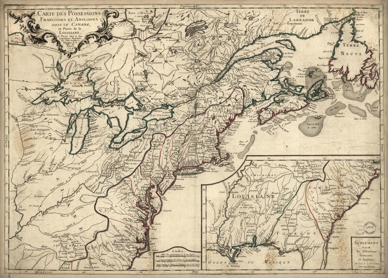
English: Scale ca. 1:3,900,000. Hand colored. Relief shown pictorially. From Louis Charles Desnos' Atlas général. 1767-[69] LC Maps of North America, 1750-1789, 70 Available also through the Library of Congress Web site as a raster image. Includes map extension entitled "Supplement pour les possessions françoises et angloises au sud de la Louisiane. Gravé par Chambon." Vault AACR2: 651/1; 651/2; 651/3; 650/4 |
||
| Title | Carte des possessions françoises et angloises dans le Canada, et partie de la Louisiane, 1756. | ||
| Shelf ID | G3300 1756 .L6 | ||
| Date | |||
| Source | https://www.loc.gov/item/73694925/ | ||
| Author | Longchamps; Thevenard, L. | ||
| Permission (Reusing this file) |
|
||
| Other versions |
|
||
| Location | North America · Canada · America · Louisiana · United States | ||
| Part of | France In America · Military Battles And Campaigns · Catalog · American Memory · Geography And Map Division · American Revolution And Its Era: Maps And Charts Of North America And The West Indies, 1750-1789 | ||
| Subject | Canada · United States · British · North America · Maps · Early Works To 1800 · America · Louisiana |


Licensing edit
|
This is a faithful photographic reproduction of a two-dimensional, public domain work of art. The work of art itself is in the public domain for the following reason:
The official position taken by the Wikimedia Foundation is that "faithful reproductions of two-dimensional public domain works of art are public domain".
This photographic reproduction is therefore also considered to be in the public domain in the United States. In other jurisdictions, re-use of this content may be restricted; see Reuse of PD-Art photographs for details. | ||||
File history
Click on a date/time to view the file as it appeared at that time.
| Date/Time | Thumbnail | Dimensions | User | Comment | |
|---|---|---|---|---|---|
| current | 14:25, 2 June 2018 |  | 9,142 × 6,548 (171.27 MB) | Fæ (talk | contribs) | LOC Maps https://www.loc.gov/item/73694925/ #18002 |
You cannot overwrite this file.
File usage on Commons
The following page uses this file: