File:Carte du Mexique et de la Floride, des terres angloises et des Isles Antilles, du cours et des environs de la riviere de Mississipi - dressée sur un grand nombre de memoires principalement sur ceux de NYPL489828.tiff

Size of this JPG preview of this TIF file: 676 × 600 pixels. Other resolutions: 270 × 240 pixels | 541 × 480 pixels | 865 × 768 pixels | 1,154 × 1,024 pixels | 2,308 × 2,048 pixels | 5,219 × 4,632 pixels.
Original file (5,219 × 4,632 pixels, file size: 69.17 MB, MIME type: image/tiff)
Captions
Captions
Add a one-line explanation of what this file represents
Summary
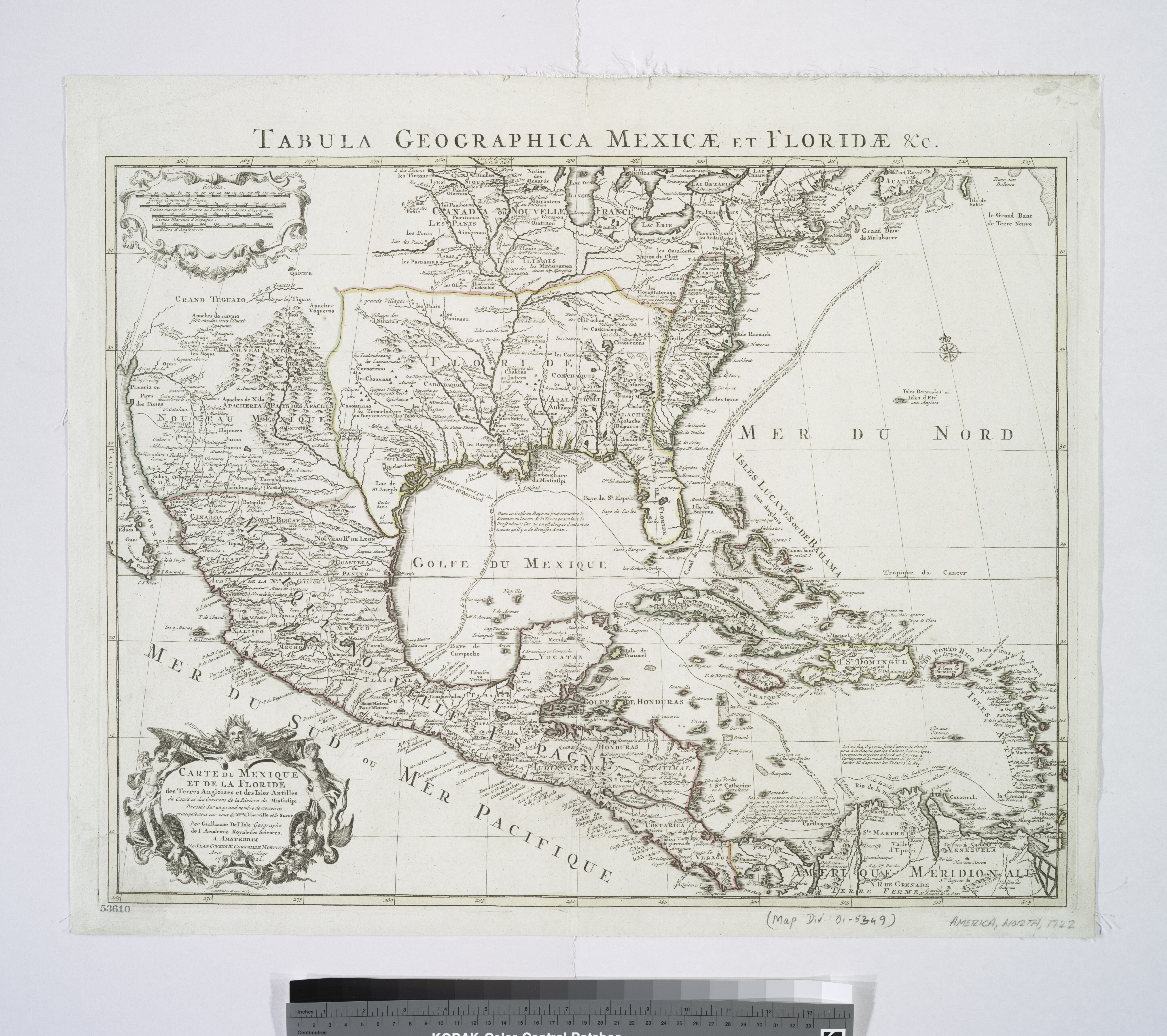
edit| Description | Carte du Mexique et de la Floride, des terres angloises et des Isles Antilles, du cours et des environs de la riviere de Mississipi / dressée sur un grand nombre de memoires principalement sur ceux de Mrs. d'Iberville et le sueur, par Guillaume De l'Isle, geographe de l'Academie Royale des Sciences ; I. Stemmers senior sculp. | |||||||||||||||||||||||
| Notes | "Avec privilege." Note 2.) Appears in the author's Atlas nouveau, contenant toutes les parties du monde. 1730 and later eds. Note 3.) Covers North America from the Atlantic coast to the Gulf of California, and from the Great Lakes to northern South America. Note 4.) Includes notes and decorative cartouche. Note 5.) National Endowment for the Humanities Grant for Access to Early Maps of the Middle Atlantic Seaboard. Note 6.) NYPL copy annotated in ink on verso, upper right corner: 40. Note 7.) Relief shown pictorially. Note 8.) Watermark: C & I Honig. | |||||||||||||||||||||||
| Standard reference | Phillips 3486 [et al.]; Cumming 191 | |||||||||||||||||||||||
| Physical description | 1 map : hand col. ; 47 x 61 cm. | |||||||||||||||||||||||
| Catalog Call Number | Map Div. 01-5349 | |||||||||||||||||||||||
| Date | ||||||||||||||||||||||||
| Source |
http://digitalgallery.nypl.org/nypldigital/dgkeysearchdetail.cfm?imageID=489828
|
|||||||||||||||||||||||
| Author | L'Isle, Guillaume de, 1675-1726 -- CartographerStemmers, I. -- Engraver | |||||||||||||||||||||||
| Permission (Reusing this file) |
From The Lionel Pincus & Princess Firyal Map Division. Released on a CC0 license.[1] | |||||||||||||||||||||||
| Digital ID | 489828 | |||||||||||||||||||||||
| Location | Stephen A. Schwarzman Building / The Lionel Pincus and Princess Firyal Map Division | |||||||||||||||||||||||
| NYPL digital item published | 8-6-2005; updated 3-25-2011 | |||||||||||||||||||||||

Licensing
edit| This file is made available under the Creative Commons CC0 1.0 Universal Public Domain Dedication. | |
| The person who associated a work with this deed has dedicated the work to the public domain by waiving all of their rights to the work worldwide under copyright law, including all related and neighboring rights, to the extent allowed by law. You can copy, modify, distribute and perform the work, even for commercial purposes, all without asking permission.
|
The making of this file was supported by Wikimedia UK.
To see other files made with the support of Wikimedia UK, please see the category Supported by Wikimedia UK.
|
File history
Click on a date/time to view the file as it appeared at that time.
| Date/Time | Thumbnail | Dimensions | User | Comment | |
|---|---|---|---|---|---|
| current | 07:41, 7 November 2023 |  | 5,219 × 4,632 (69.17 MB) | Sebastian Wallroth (talk | contribs) | rotated 90° using CropTool with precise mode. |
| 17:52, 16 April 2014 |  | 4,632 × 5,219 (69.17 MB) | Fæ (talk | contribs) | =={{int:filedesc}}== {{NYPL_map |digital_id = 489828 |standard_reference = Phillips 3486 [et al.]; Cumming 191 |record_id = 337845 |catalog_call_number = Map Div. 01-5349 |creator = L'Isle, Guillaume de, 1675-1726 -- Cartographer |link_catalog = http:... |
You cannot overwrite this file.
File usage on Commons
The following page uses this file: