File:Cyclone Idai west of Madagascar ESA418458.tiff

Original file (4,677 × 4,090 pixels, file size: 54.76 MB, MIME type: image/tiff)
Captions
Captions
Summary
edit| Description |
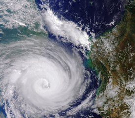
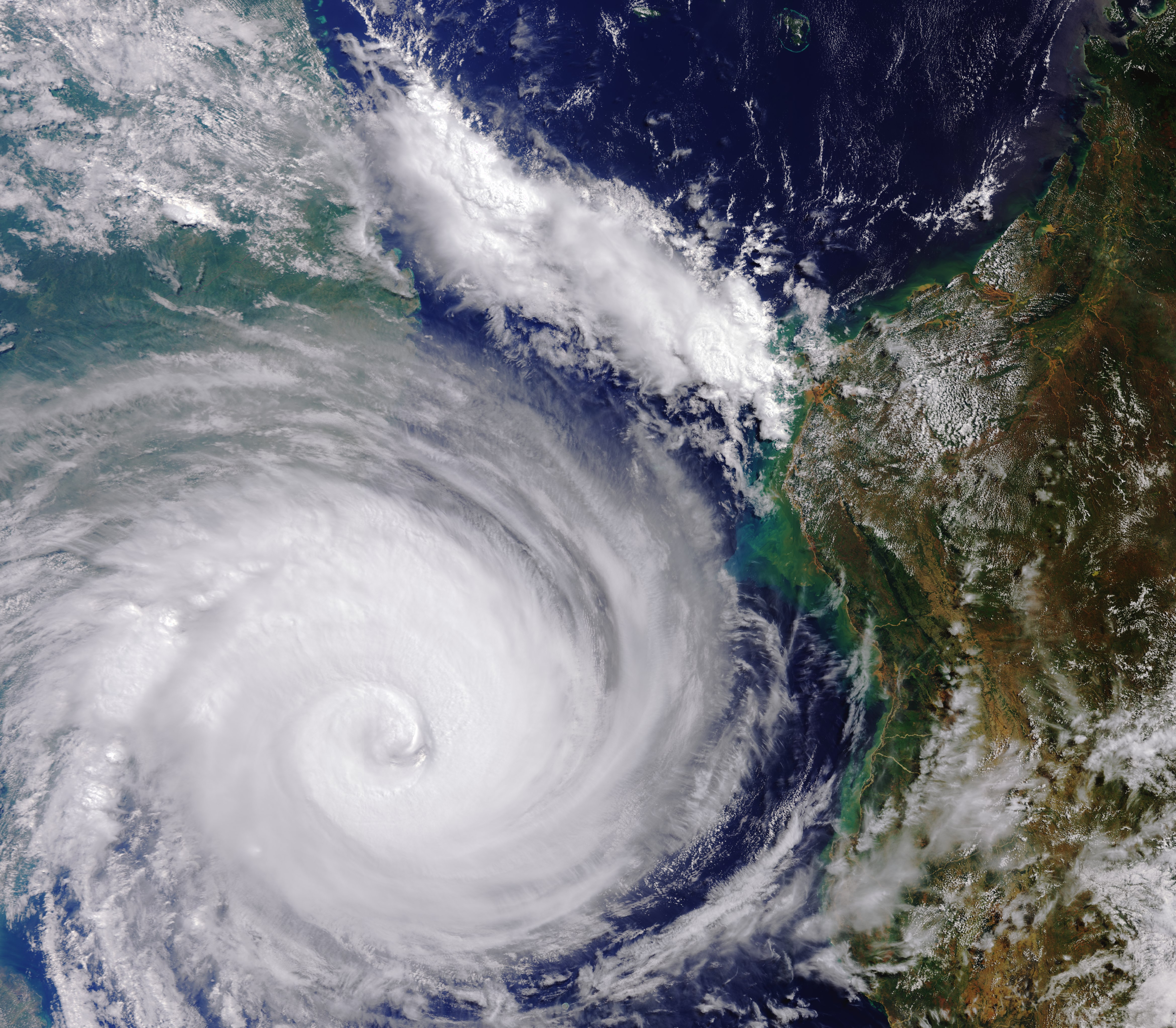
English: Captured by the Copernicus Sentinel-3 mission, this image shows Cyclone Idai on 13 March 2019 west of Madagascar and heading for Mozambique. Here, the width of the storm is around 800–1000 km, but does not include the whole extent of Idai. The storm went on to cause widespread destruction in Mozambique, Malawi and Zimbabwe. With thousands of people losing their lives, and houses, roads and croplands submerged, the International Charter Space and Major Disasters and the Copernicus Emergency Mapping Service were triggered to supply maps of flooded areas based on satellite data to help emergency response efforts. |
| Date | |
| Source | http://www.esa.int/spaceinimages/Images/2019/03/Cyclone_Idai_west_of_Madagascar |
| Author | European Space Agency |
| Permission (Reusing this file) |
contains modified Copernicus Sentinel data (2019), processed by ESA,CC BY-SA 3.0 IGO |
| Title | Cyclone Idai west of Madagascar |
| System | Copernicus |
| Mission | Sentinel-3 |
| Activity | Observing the Earth |
Licensing
edit- You are free:
- to share – to copy, distribute and transmit the work
- to remix – to adapt the work
- Under the following conditions:
- attribution – You must give appropriate credit, provide a link to the license, and indicate if changes were made. You may do so in any reasonable manner, but not in any way that suggests the licensor endorses you or your use.
- share alike – If you remix, transform, or build upon the material, you must distribute your contributions under the same or compatible license as the original.

|
This image contains data from a satellite in the Copernicus Programme, such as Sentinel-1, Sentinel-2 or Sentinel-3. Attribution is required when using this image.
Attribution: Contains modified Copernicus Sentinel data {{{year}}}
The use of Copernicus Sentinel Data is regulated under EU law (Commission Delegated Regulation (EU) No 1159/2013 and Regulation (EU) No 377/2014). Relevant excerpts:
Free access shall be given to GMES dedicated data [...] made available through GMES dissemination platforms [...].
Access to GMES dedicated data [...] shall be given for the purpose of the following use in so far as it is lawful:
GMES dedicated data [...] may be used worldwide without limitations in time.
GMES dedicated data and GMES service information are provided to users without any express or implied warranty, including as regards quality and suitability for any purpose. |
File history
Click on a date/time to view the file as it appeared at that time.
| Date/Time | Thumbnail | Dimensions | User | Comment | |
|---|---|---|---|---|---|
| current | 12:26, 3 April 2019 |  | 4,677 × 4,090 (54.76 MB) | Fæ (talk | contribs) | European Space Agency, Id 418458, http://www.esa.int/spaceinimages/Images/2019/03/Cyclone_Idai_west_of_Madagascar, User:Fæ/Project_list/ESA |
You cannot overwrite this file.
File usage on Commons
The following page uses this file: