File:Denmark Zealand location map.svg

Size of this PNG preview of this SVG file: 361 × 600 pixels. Other resolutions: 144 × 240 pixels | 289 × 480 pixels | 462 × 768 pixels | 616 × 1,024 pixels | 1,233 × 2,048 pixels | 602 × 1,000 pixels.
Original file (SVG file, nominally 602 × 1,000 pixels, file size: 249 KB)
Captions
Captions
Add a one-line explanation of what this file represents
Summary
edit
| Description |
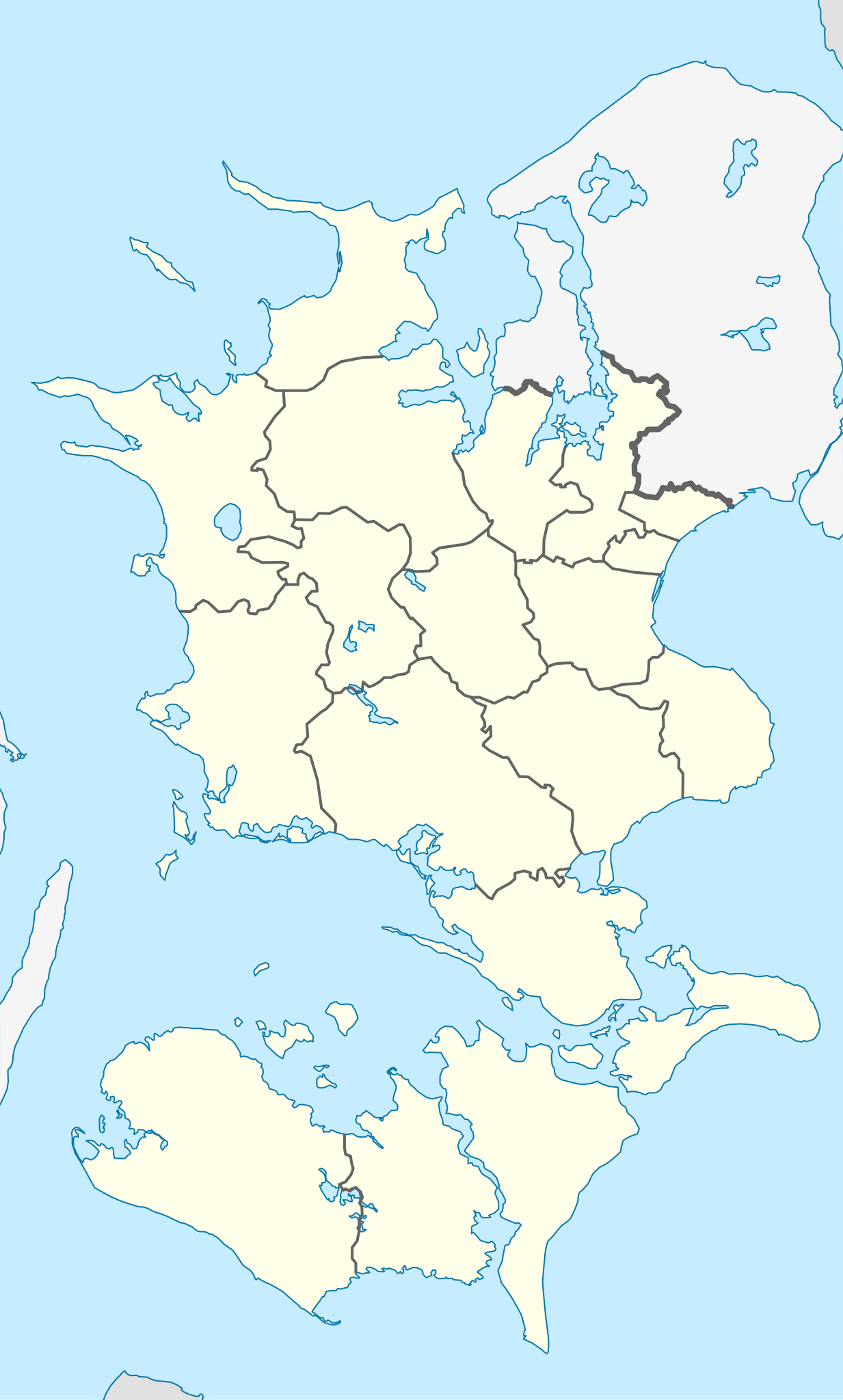
English: Location map of Region Zealand in Denmark
Equirectangular projection, N/S stretching 176 %. Geographic limits of the map:
Deutsch: Positionskarte von der Region Sjæland in Dänemark
Quadratische Plattkarte, N-S-Streckung 176 %. Geographische Begrenzung der Karte:
|
| Date | |
| Source | Own work |
| Author | Erik Frohne |
| SVG development |
Licensing
edit
I, the copyright holder of this work, hereby publish it under the following licenses:

|
Permission is granted to copy, distribute and/or modify this document under the terms of the GNU Free Documentation License, Version 1.2 or any later version published by the Free Software Foundation; with no Invariant Sections, no Front-Cover Texts, and no Back-Cover Texts. A copy of the license is included in the section entitled GNU Free Documentation License. |
This file is licensed under the Creative Commons Attribution-Share Alike 3.0 Unported license.
- You are free:
- to share – to copy, distribute and transmit the work
- to remix – to adapt the work
- Under the following conditions:
- attribution – You must give appropriate credit, provide a link to the license, and indicate if changes were made. You may do so in any reasonable manner, but not in any way that suggests the licensor endorses you or your use.
- share alike – If you remix, transform, or build upon the material, you must distribute your contributions under the same or compatible license as the original.
You may select the license of your choice.
File history
Click on a date/time to view the file as it appeared at that time.
| Date/Time | Thumbnail | Dimensions | User | Comment | |
|---|---|---|---|---|---|
| current | 13:22, 13 January 2010 | | 602 × 1,000 (249 KB) | Erik Frohne (talk | contribs) | Reverted to version as of 16:15, 14 March 2009:Colors as agreed upon by german and french map makers. Use file Denmark Zealand location map (ca).svg instead if you need other colors |
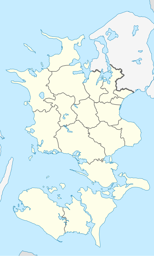
| 01:37, 29 December 2009 |  | 361 × 600 (635 KB) | Hubertus45 (talk | contribs) | Changing colour after consensus with other users. | |
| 23:42, 14 December 2009 |  | 361 × 600 (635 KB) | Hubertus45 (talk | contribs) | Making the region more visible to the neighbour areas. | |
| 23:35, 14 December 2009 |  | 361 × 600 (635 KB) | Hubertus45 (talk | contribs) | Making the region more visible to the neighbour areas. | |
| 16:15, 14 March 2009 |  | 602 × 1,000 (249 KB) | Erik Frohne (talk | contribs) | {{Information |Description={{en|1=Location map of Region Zealand in Denmark Equirectangular projection, N/S stretching 176 %. Geographic limits of the map: * N: 56.20° N * S: 54.50° N * W: 10.80° E * E: 12.60° E}} {{de|1=Positionskarte von der Regio |
You cannot overwrite this file.
File usage on Commons
There are no pages that use this file.
File usage on other wikis
The following other wikis use this file:
- Usage on de.wikipedia.org
- Storstrømsbroen
- Farøbroerne
- Wikipedia:Kartenwerkstatt/Positionskarten/Europa
- Vorlage:Positionskarte Dänemark Sjælland
- Gedser Fyr
- Stevns Klint
- Herfølge Stadion
- Odden Færgehavn
- Guldborgsundbroen
- Kong Frederik d. IX’s Bro
- Dronning Alexandrines Bro
- Munkholmbroen
- Masnedsundbroen
- Harboe Arena Slagelse
- Fuglsang Kunstmuseum
- Wikipedia:Fragen zur Wikipedia/Archiv/2014/Woche 19
- Næstved Stadion
- Ganggrab im Lars Jensens Skov
- Trophy European Pentathlon 1989
- Halsskovbroen
- Møn Fyr
- Stevns Fyr
- Arena Næstved
- Bogø fyr
- Usage on eo.wikipedia.org
- Usage on es.wikipedia.org
- Usage on frr.wikipedia.org
- Usage on fr.wikipedia.org
View more global usage of this file.