File:Europe. LOC 2012590218.jpg

Size of this preview: 758 × 599 pixels. Other resolutions: 304 × 240 pixels | 607 × 480 pixels | 971 × 768 pixels | 1,280 × 1,012 pixels | 2,560 × 2,025 pixels | 5,313 × 4,202 pixels.
Original file (5,313 × 4,202 pixels, file size: 4.05 MB, MIME type: image/jpeg)
Captions
Captions
Add a one-line explanation of what this file represents
Summary
edit| Description |
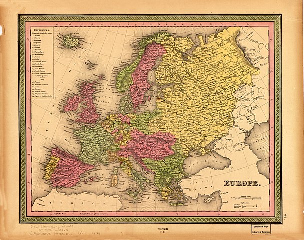
English: Relief shown by hachures. Sheet removed from atlas publication. Available also through the Library of Congress Web site as a raster image. LC copy imperfect: Removed from atlas, rubber-stamped in lower margin "626888 N 41", annotated in lead pencil in lower margin: New universal atlas of the world, S. Augustus Mitchell, Phil., 1849. Includes index of states in the Germanic and Italian confederations. Atlas plate no. in right-hand margin at bottom: 44. |
||
| Title | Europe. | ||
| Shelf ID | G5700 1849 .M5 | ||
| Date | |||
| Source | https://www.loc.gov/item/2012590218/ | ||
| Author | Mitchell, S. Augustus (Samuel Augustus); Mitchell, S. Augustus | ||
| Permission (Reusing this file) |
|
||
| Other versions |
|
||
| Location | Europe | ||
| Part of | American Memory · General Maps · Catalog · Geography And Map Division | ||
| Subject | Europe · Maps |


Licensing
edit
|
This is a faithful photographic reproduction of a two-dimensional, public domain work of art. The work of art itself is in the public domain for the following reason:
The official position taken by the Wikimedia Foundation is that "faithful reproductions of two-dimensional public domain works of art are public domain".
This photographic reproduction is therefore also considered to be in the public domain in the United States. In other jurisdictions, re-use of this content may be restricted; see Reuse of PD-Art photographs for details. | ||||
File history
Click on a date/time to view the file as it appeared at that time.
| Date/Time | Thumbnail | Dimensions | User | Comment | |
|---|---|---|---|---|---|
| current | 03:42, 26 June 2018 | | 5,313 × 4,202 (4.05 MB) | Fæ (talk | contribs) | LOC Maps https://www.loc.gov/item/2012590218/ #28822 |
You cannot overwrite this file.
File usage on Commons
The following page uses this file: