File:Flood hazard study area and mosaic sheet index, Gwynns Falls, Baltimore City and Baltimore County, Maryland LOC 82696297.jpg

Size of this preview: 800 × 327 pixels. Other resolutions: 320 × 131 pixels | 640 × 262 pixels | 1,024 × 419 pixels | 1,280 × 524 pixels | 2,560 × 1,047 pixels | 8,632 × 3,532 pixels.
Original file (8,632 × 3,532 pixels, file size: 5.5 MB, MIME type: image/jpeg)
Captions
Captions
Add a one-line explanation of what this file represents
Summary
edit| Description |
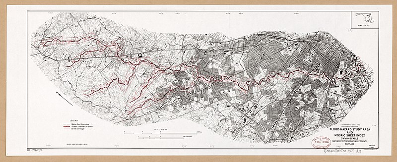
English: "June 1979." Relief shown by contours and spot heights. Oriented with north toward the upper left. Base map "Source: USGS topo quads 1:24 000." Includes location map. "1-14,952." Available also through the Library of Congress Web site as a raster image. |
||
| Title | Flood hazard study area and mosaic sheet index, Gwynns Falls, Baltimore City and Baltimore County, Maryland | ||
| Shelf ID | G3842.G89C32 1979 .U5 | ||
| Date | |||
| Source | https://www.loc.gov/item/82696297/ | ||
| Author | United States. Soil Conservation Service | ||
| Permission (Reusing this file) |
|
||
| Other versions |
|
||
| Location | United States · Gwynns Falls Watershed · Maryland · Gwynns Falls Watershed. | ||
| Part of | American Memory · Catalog · Geography And Map Division · Additional Conservation And Environment Cartographic Items | ||
| Subject | Gwynns Falls Watershed · Index Maps · Floods · Gwynns Falls Watershed (Md.) · United States · Maps · Maryland |

Licensing
edit
| This work is from the Library of Congress. According to the library, there are no known copyright restrictions on the use of this work. |  |
File history
Click on a date/time to view the file as it appeared at that time.
| Date/Time | Thumbnail | Dimensions | User | Comment | |
|---|---|---|---|---|---|
| current | 02:53, 7 June 2018 | 8,632 × 3,532 (5.5 MB) | Fæ (talk | contribs) | LOC Maps https://www.loc.gov/item/82696297/ #22336 |
You cannot overwrite this file.
File usage on Commons
The following page uses this file: