File:Forminsket utgave av Barentskartet - no-nb krt 00487.jpg

Size of this preview: 768 × 600 pixels. Other resolutions: 308 × 240 pixels | 615 × 480 pixels | 984 × 768 pixels | 1,280 × 999 pixels | 2,560 × 1,999 pixels | 4,418 × 3,449 pixels.
Original file (4,418 × 3,449 pixels, file size: 3.45 MB, MIME type: image/jpeg)
Captions
Captions
Add a one-line explanation of what this file represents
Summary
edit| Description |
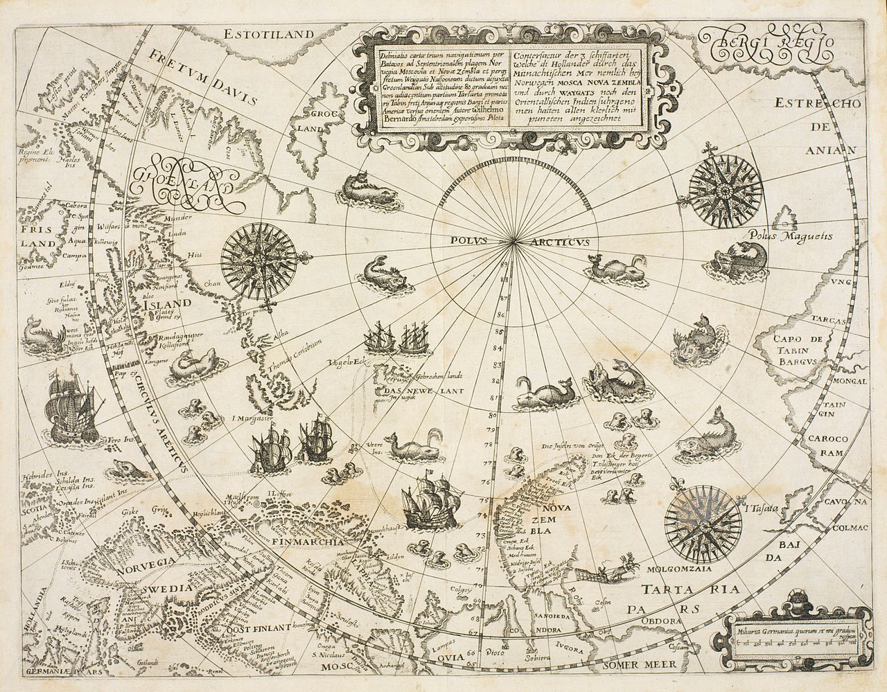
Norsk bokmål: Kart fra Nasjonalbibliotekets kartsamling. Kartet er gitt ut i Frankfurt (ca 1600) og viser Nordområdene. |
|||||||||||||||||||||||
| Date | before ca 1600 | |||||||||||||||||||||||
| Source |
|
|||||||||||||||||||||||
| Author | de Bry | |||||||||||||||||||||||
| Other versions |
|
|||||||||||||||||||||||

.jpg)

_door_Willem_Barendsz_(titel_op_object),_NG-800.jpg)


Licensing
edit
|
This is a faithful photographic reproduction of a two-dimensional, public domain work of art. The work of art itself is in the public domain for the following reason:
The official position taken by the Wikimedia Foundation is that "faithful reproductions of two-dimensional public domain works of art are public domain".
This photographic reproduction is therefore also considered to be in the public domain in the United States. In other jurisdictions, re-use of this content may be restricted; see Reuse of PD-Art photographs for details. | ||||
| Annotations | This image is annotated: View the annotations at Commons |
File history
Click on a date/time to view the file as it appeared at that time.
| Date/Time | Thumbnail | Dimensions | User | Comment | |
|---|---|---|---|---|---|
| current | 10:49, 25 October 2014 | | 4,418 × 3,449 (3.45 MB) | Lomita (talk | contribs) | Suppression cadre |
| 18:00, 2 October 2014 |  | 5,356 × 4,080 (4.58 MB) | SteinsplitterBot (talk | contribs) | Bot: Image rotated by 270° | |
| 09:53, 5 September 2014 |  | 4,080 × 5,356 (4.52 MB) | Nasjonalbiblioteket-bot (talk | contribs) | From the Norwegian National Library: de Bry - ca 1600 |
You cannot overwrite this file.
File usage on Commons
The following 7 pages use this file:
- File:1598 map of the Polar Regions by Willem Barentsz.jpg
- File:Barents third voyage.jpg
- File:Barentskartet, 1598 (12068020364).jpg
- File:Barentsz Full Map.jpg
- File:Kaart van de landen rond de poolcirkel met de drie reizen van de Nederlanders, 1598 Beschrijvinghe van de drie seylagien door de Hollanders gedaen ande Noordt syde van Noorweghen, Moscovia, nova Sembla, ende door het de, RP-P-OB-80.320.jpg
- File:Kaart van het Noordpoolgebied, 1598 Beschrijvinghe van de drie seylagien door de Hollanders gedaan (..) door Willem Barendsz (titel op object), NG-800.jpg
- File:Pontanus 1611 Arctic Map.jpg