File:General soil map, Louisiana LOC 2002626323.jpg

Size of this preview: 800 × 518 pixels. Other resolutions: 320 × 207 pixels | 640 × 414 pixels | 1,024 × 663 pixels | 1,280 × 829 pixels | 2,560 × 1,658 pixels | 5,044 × 3,266 pixels.
Original file (5,044 × 3,266 pixels, file size: 2.05 MB, MIME type: image/jpeg)
Captions
Captions
Add a one-line explanation of what this file represents
Summary
edit| Description |
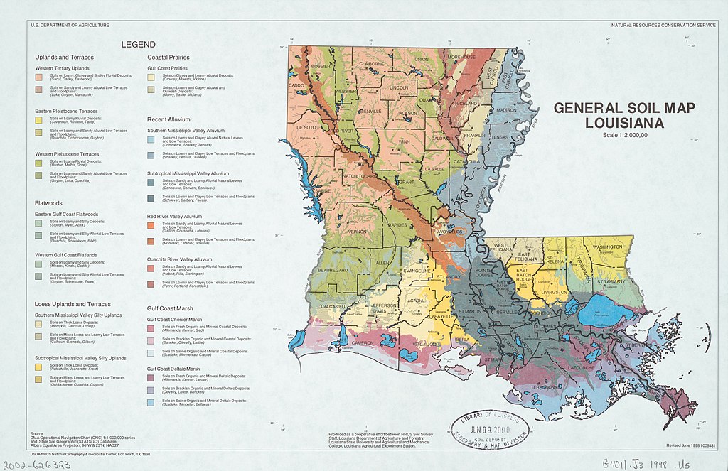
English: "Source: DMA Operational Navigation Chart (ONC) 1:1,000,000 series and State Soil Geographic (STATSGO) Database." "Produced as a cooperative effort between NRCS Soil Survey Staff, Louisiana Department of Agriculture and Forestry, Louisiana State University and Agricultural and Mechanical College, Louisiana Agricultural Experiment Station." "1008431." Available also through the Library of Congress Web site as a raster image. |
||
| Title | General soil map, Louisiana | ||
| Shelf ID | G4011.J3 1998 .U5 | ||
| Date | |||
| Source | https://www.loc.gov/item/2002626323/ | ||
| Author | United States. Natural Resources Conservation Service; National Cartography And Geospatial Center (U.S.) | ||
| Permission (Reusing this file) |
|
||
| Other versions |
|
||
| Location | United States · Louisiana. · Louisiana | ||
| Part of | American Memory · Catalog · Geography And Map Division · Additional Conservation And Environment Cartographic Items | ||
| Subject | United States · Soils · Louisiana · Maps |


Licensing
edit
| This work is from the Library of Congress. According to the library, there are no known copyright restrictions on the use of this work. |  |
File history
Click on a date/time to view the file as it appeared at that time.
| Date/Time | Thumbnail | Dimensions | User | Comment | |
|---|---|---|---|---|---|
| current | 01:43, 8 April 2019 | | 5,044 × 3,266 (2.05 MB) | Fæ (talk | contribs) | LOC Maps https://www.loc.gov/item/2002626323/ #74 |
You cannot overwrite this file.
File usage on Commons
The following page uses this file: