File:Gordon County, Georgia - soil interpretive map of woodland productivity LOC 81690452.jpg

Size of this preview: 796 × 600 pixels. Other resolutions: 319 × 240 pixels | 637 × 480 pixels | 1,019 × 768 pixels | 1,280 × 965 pixels | 2,560 × 1,929 pixels | 5,701 × 4,296 pixels.
Original file (5,701 × 4,296 pixels, file size: 3.47 MB, MIME type: image/jpeg)
Captions
Captions
Add a one-line explanation of what this file represents
Summary
edit| Description |
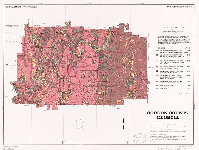
English: "Base compiled from U.S.G.S. quadrangle sheets and Georgia county highway map ..." UTM grid. Includes text and location map. "April 1978 base 4-R-36590." Available also through the Library of Congress Web site as a raster image. |
||
| Title | Gordon County, Georgia : soil interpretive map of woodland productivity | ||
| Shelf ID | G3923.G6K1 1978 .U5 | ||
| Date | |||
| Source | https://www.loc.gov/item/81690452/ | ||
| Author | United States. Soil Conservation Service | ||
| Permission (Reusing this file) |
|
||
| Other versions |
|
||
| Location | United States · Gordon County. · Georgia · Gordon County | ||
| Part of | American Memory · Catalog · Geography And Map Division · Additional Conservation And Environment Cartographic Items | ||
| Subject | Georgia · Forest Site Quality · Trees · United States · Maps · Growth · Soil Productivity · Gordon County |


Licensing
edit
| This work is from the Library of Congress. According to the library, there are no known copyright restrictions on the use of this work. |  |
File history
Click on a date/time to view the file as it appeared at that time.
| Date/Time | Thumbnail | Dimensions | User | Comment | |
|---|---|---|---|---|---|
| current | 01:59, 24 August 2018 | | 5,701 × 4,296 (3.47 MB) | Fæ (talk | contribs) | LOC Maps https://www.loc.gov/item/81690452/ #4276 |
You cannot overwrite this file.
File usage on Commons
The following page uses this file: