File:Guilford County W-S protection study - zoning map LOC 2007629478.jpg
Size of this preview: 800 × 520 pixels. Other resolutions: 320 × 208 pixels | 640 × 416 pixels | 1,024 × 666 pixels | 1,280 × 832 pixels | 2,560 × 1,664 pixels | 5,160 × 3,354 pixels.
Original file (5,160 × 3,354 pixels, file size: 2.43 MB, MIME type: image/jpeg)
Captions
Captions
Add a one-line explanation of what this file represents
Summary
edit| Description |
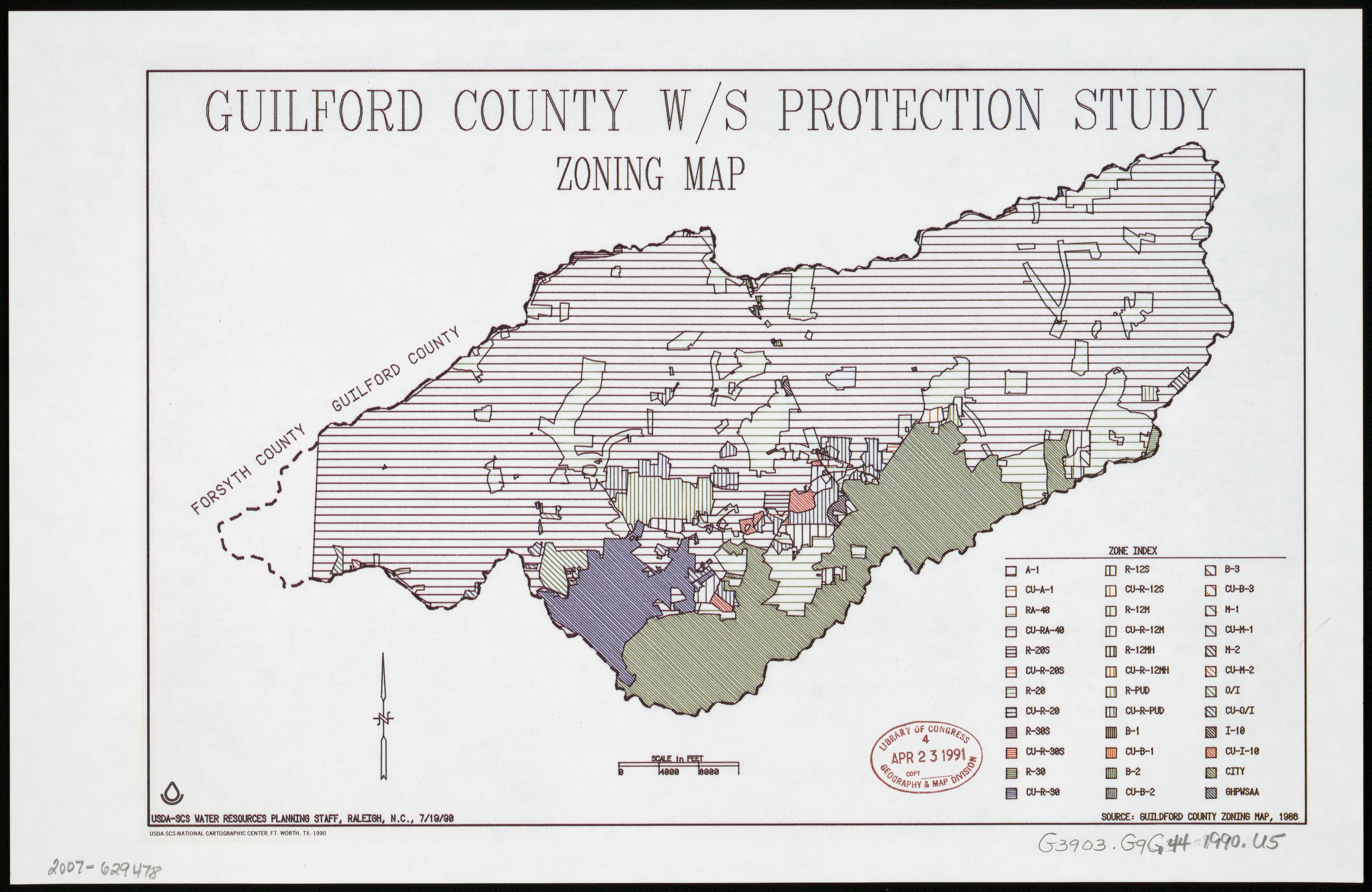
English: "7/19/90." Available also through the Library of Congress Web site as a raster image. |
||
| Title | Guilford County W/S protection study : zoning map | ||
| Shelf ID | G3903.G9G44 1990 .U5 | ||
| Date | |||
| Source | https://www.loc.gov/item/2007629478/ | ||
| Author | United States. Soil Conservation Service; National Cartographic Center (U.S.) | ||
| Permission (Reusing this file) |
|
||
| Other versions |
|
||
| Location | Guilford County. · United States · Guilford County · North Carolina | ||
| Part of | American Memory · Catalog · Geography And Map Division · Additional Conservation And Environment Cartographic Items | ||
| Subject | United States · Maps · Zoning · North Carolina · Guilford County |


Licensing
edit
| This work is from the Library of Congress. According to the library, there are no known copyright restrictions on the use of this work. |  |
File history
Click on a date/time to view the file as it appeared at that time.
| Date/Time | Thumbnail | Dimensions | User | Comment | |
|---|---|---|---|---|---|
| current | 08:32, 22 August 2018 | | 5,160 × 3,354 (2.43 MB) | Fæ (talk | contribs) | LOC Maps https://www.loc.gov/item/2007629478/ #1483 |
You cannot overwrite this file.
File usage on Commons
The following page uses this file:
File usage on other wikis
The following other wikis use this file:
- Usage on fr.wikipedia.org