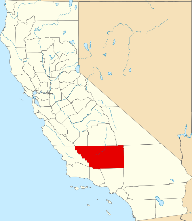
File:Map of California highlighting Kern County.svg

Size of this PNG preview of this SVG file: 521 × 599 pixels. Other resolutions: 209 × 240 pixels | 417 × 480 pixels | 667 × 768 pixels | 890 × 1,024 pixels | 1,780 × 2,048 pixels | 916 × 1,054 pixels.
Original file (SVG file, nominally 916 × 1,054 pixels, file size: 151 KB)
Captions
Captions
Add a one-line explanation of what this file represents
Summary
edit
| Description |
|
| Date | 12 February 2006 (original upload date) |
| Source | No machine-readable source provided. Own work assumed (based on copyright claims). |
| Author | No machine-readable author provided. David Benbennick assumed (based on copyright claims). |
Licensing
edit
| I, the copyright holder of this work, release this work into the public domain. This applies worldwide. In some countries this may not be legally possible; if so: I grant anyone the right to use this work for any purpose, without any conditions, unless such conditions are required by law. |
File history
Click on a date/time to view the file as it appeared at that time.
| Date/Time | Thumbnail | Dimensions | User | Comment | |
|---|---|---|---|---|---|
| current | 23:01, 25 June 2024 | | 916 × 1,054 (151 KB) | Nux (talk | contribs) | uniform colors with good contrast |
| 18:34, 25 November 2016 |  | 1,022 × 1,171 (495 KB) | Spartan7W (talk | contribs) | Update HQ map | |
| 10:25, 12 February 2006 |  | 9,164 × 10,536 (229 KB) | David Benbennick (talk | contribs) | {{subst:User:Dbenbenn/clm|county=Kern County|state=California}} |
You cannot overwrite this file.
File usage on Commons
The following 9 pages use this file:
- Category:Births in Kern County, California
- Category:Deaths in Kern County, California
- Category:Geography of Kern County, California
- Category:History of Kern County, California
- Category:Kern County, California
- Category:Maps of Kern County, California
- Category:Nature of Kern County, California
- Category:People of Kern County, California
- Category:Roads in Kern County, California
File usage on other wikis
The following other wikis use this file:
- Usage on ar.wikipedia.org
- مقاطعة كيرن (كاليفورنيا)
- بيكرسفيلد
- تافت (كاليفورنيا)
- أرفين (كاليفورنيا)
- كاليفورنيا سيتي (كاليفورنيا)
- ديلانو (كاليفورنيا)
- ماريكوبا (كاليفورنيا)
- مكفارلاند (كاليفورنيا)
- ريدجكريست (كاليفورنيا)
- شافتير (كاليفورنيا)
- تيهاتشابي (كاليفورنيا)
- واسكو (كاليفورنيا)
- قاعدة إدواردز الجوية
- ديربي أكرس (كاليفورنيا)
- فيلوز (كاليفورنيا)
- جوهانسبرغ (كاليفورنيا)
- فورد (كاليفورنيا)
- لاك إيزابيلا (كاليفورنيا)
- موهافي (كاليفورنيا)
- فريزر بارك (كاليفورنيا)
- فالي أكرس (كاليفورنيا)
- ويلدون (كاليفورنيا)
- تشاينا لاك أكرس (كاليفورنيا)
- ماونتين ميسا (كاليفورنيا)
- داستين أكرس (كاليفورنيا)
- أونيكس (كاليفورنيا)
- بير فالي سبرينغز (كاليفورنيا)
- بورون (كاليفورنيا)
- نورث إدواردز (كاليفورنيا)
- غولدن هيلز (كاليفورنيا)
- بين ماونتين كلوب (كاليفورنيا)
- ميتلار (كاليفورنيا)
- لامونت (كاليفورنيا)
- كيني (كاليفورنيا)
- ووفورد هايهتس (كاليفورنيا)
- قالب:مقاطعة كيرن (كاليفورنيا)
- Usage on arz.wikipedia.org
- Usage on az.wikipedia.org
- Usage on ban.wikipedia.org
- Usage on be.wikipedia.org
- Usage on bpy.wikipedia.org
- Usage on ca.wikipedia.org
- Usage on ceb.wikipedia.org
- Usage on ce.wikipedia.org
- Usage on ckb.wikipedia.org
- Usage on cs.wikipedia.org
- Usage on cy.wikipedia.org
View more global usage of this file.