File:Map of Essex Sheet 083, Ordnance Survey, 1872-1890.jpg

Size of this preview: 800 × 531 pixels. Other resolutions: 320 × 212 pixels | 640 × 425 pixels | 1,024 × 680 pixels | 1,280 × 850 pixels | 2,560 × 1,699 pixels | 10,769 × 7,148 pixels.
Original file (10,769 × 7,148 pixels, file size: 9.28 MB, MIME type: image/jpeg)
Captions
Captions
Add a one-line explanation of what this file represents
Summary edit
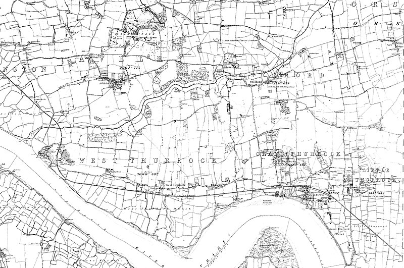
| Map of Essex | |
|---|---|
| Author |
Ordnance Survey |
| Title |
Map of Essex |
| Description |
English: Sheet 083 Aveley, Baker Street, Chafford Hundred, Grays, Little Thurrock, North Stifford, Purfleet, Thurrock Lakeside, West Thurrock, RM15 4, RM16 3, RM16 6, RM17 6, RM16 5, RM19 1, RM20 2, RM20 3 |
| Date | between 1872 and 1890 |
| Source/Photographer | http://www.british-history.ac.uk/os-1-to-10560/essex/083 |
Licensing edit
|
This is a faithful photographic reproduction of a two-dimensional, public domain work of art. The work of art itself is in the public domain for the following reason:
The official position taken by the Wikimedia Foundation is that "faithful reproductions of two-dimensional public domain works of art are public domain".
This photographic reproduction is therefore also considered to be in the public domain in the United States. In other jurisdictions, re-use of this content may be restricted; see Reuse of PD-Art photographs for details. | ||||
File history
Click on a date/time to view the file as it appeared at that time.
| Date/Time | Thumbnail | Dimensions | User | Comment | |
|---|---|---|---|---|---|
| current | 10:56, 19 October 2017 | | 10,769 × 7,148 (9.28 MB) | Fæ (talk | contribs) | BHO JPEG http://www.british-history.ac.uk/os-1-to-10560/essex/083 |
You cannot overwrite this file.
File usage on Commons
The following 2 pages use this file: