File:Map of Lancashire Sheet 101, Ordnance Survey, 1846-1873.jpg

Size of this preview: 800 × 538 pixels. Other resolutions: 320 × 215 pixels | 640 × 430 pixels | 1,024 × 689 pixels | 1,280 × 861 pixels | 2,560 × 1,722 pixels | 10,617 × 7,141 pixels.
Original file (10,617 × 7,141 pixels, file size: 16.77 MB, MIME type: image/jpeg)
Captions
Captions
Add a one-line explanation of what this file represents
Summary
edit
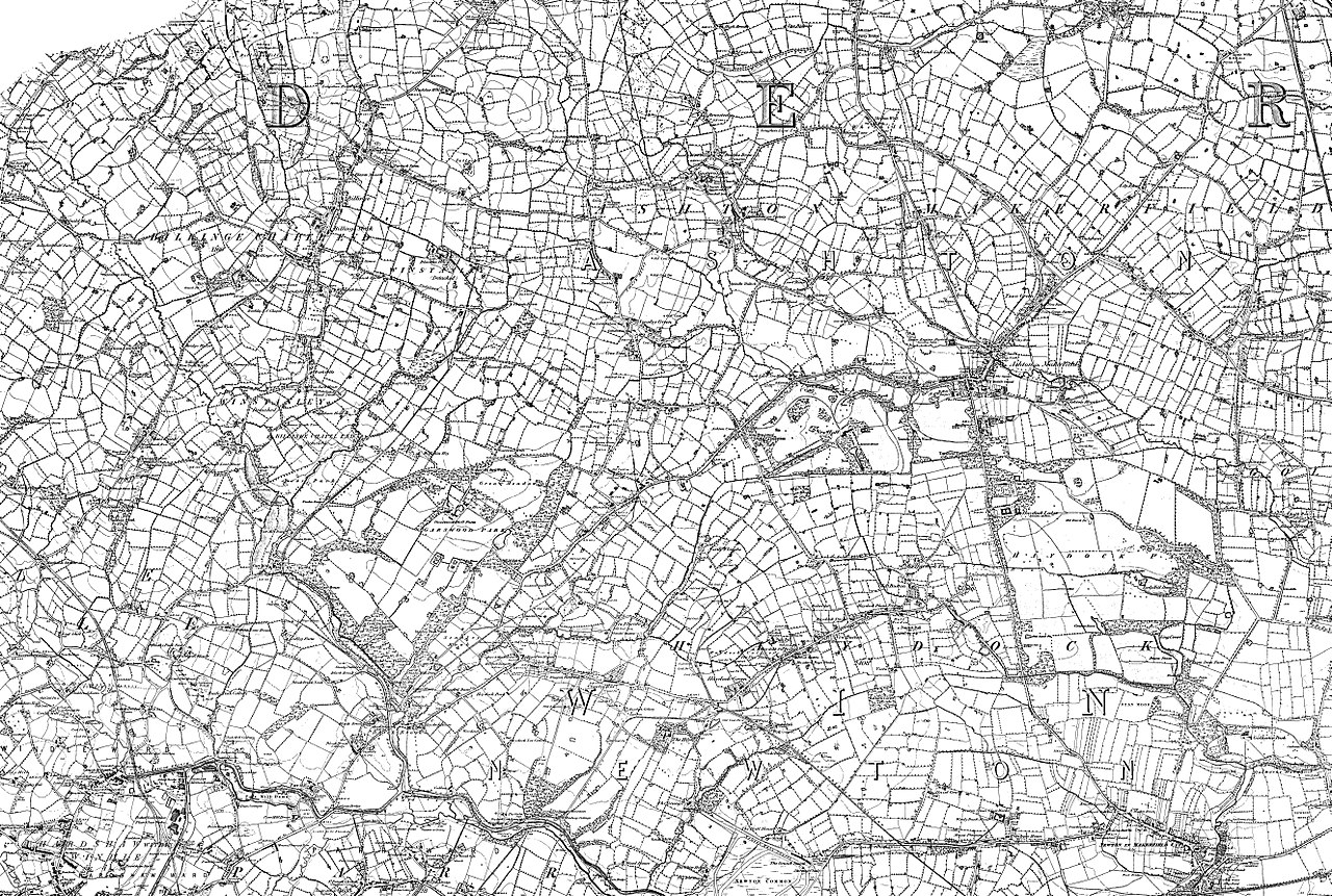
| Map of Lancashire | |
|---|---|
| Author |
Ordnance Survey |
| Title |
Map of Lancashire |
| Description |
English: Sheet 101 Ashton-in-Makerfield, Billinge, Blackbrook, Broad Oak, Bryn, Bryn Gates, Chadwick Green, Edge Green, Garswood, Haydock, King's Moss, Moss Bank, New Boston, Newton-le-Willows, St Helens, Stubshaw Cross, WN4 9, WN5 7, WA11 0, WA9 2, WN4 0, WN2 5, WA3 3, WA11 8, WA11 7, WA12 9, WA10 2, WN4 8 |
| Date | between 1846 and 1873 |
| Source/Photographer | http://www.british-history.ac.uk/os-1-to-10560/lancashire/101 |
Licensing
edit
|
This is a faithful photographic reproduction of a two-dimensional, public domain work of art. The work of art itself is in the public domain for the following reason:
The official position taken by the Wikimedia Foundation is that "faithful reproductions of two-dimensional public domain works of art are public domain".
This photographic reproduction is therefore also considered to be in the public domain in the United States. In other jurisdictions, re-use of this content may be restricted; see Reuse of PD-Art photographs for details. | ||||
File history
Click on a date/time to view the file as it appeared at that time.
| Date/Time | Thumbnail | Dimensions | User | Comment | |
|---|---|---|---|---|---|
| current | 19:54, 16 November 2017 | | 10,617 × 7,141 (16.77 MB) | Fæ (talk | contribs) | BHO JPEG http://www.british-history.ac.uk/os-1-to-10560/lancashire/101 |
You cannot overwrite this file.
File usage on Commons
The following page uses this file: