File:Map of Oxfordshire Sheet 009, Ordnance Survey, 1882-1887.jpg

Size of this preview: 800 × 536 pixels. Other resolutions: 320 × 215 pixels | 640 × 429 pixels | 1,024 × 687 pixels | 1,280 × 858 pixels | 2,560 × 1,716 pixels | 10,691 × 7,168 pixels.
Original file (10,691 × 7,168 pixels, file size: 10.88 MB, MIME type: image/jpeg)
Captions
Captions
Add a one-line explanation of what this file represents
Summary edit
| Map of Oxfordshire | |
|---|---|
| Author |
Ordnance Survey |
| Title |
Map of Oxfordshire |
| Description |
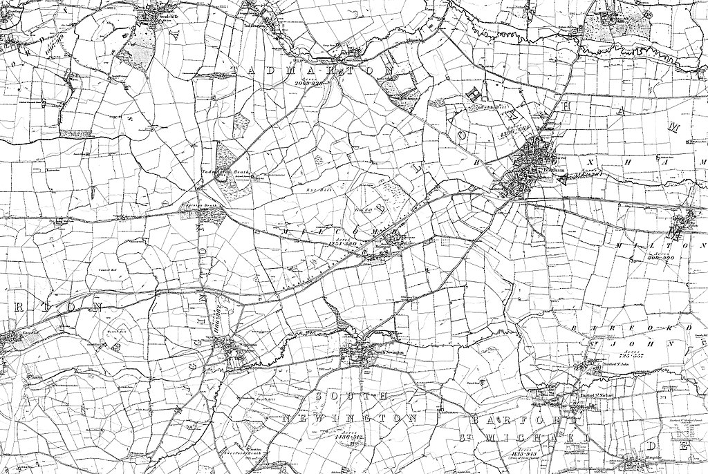
English: Sheet 009 Barford St John, Barford St Michael, Bloxham, Lower Tadmarton, Milcombe, Milton, South Newington, Swalcliffe, Tadmarton, Wigginton, OX15 4, OX15 0, OX15 5 |
| Date | between 1882 and 1887 |
| Source/Photographer | http://www.british-history.ac.uk/os-1-to-10560/oxfordshire/009 |
Licensing edit
|
This is a faithful photographic reproduction of a two-dimensional, public domain work of art. The work of art itself is in the public domain for the following reason:
The official position taken by the Wikimedia Foundation is that "faithful reproductions of two-dimensional public domain works of art are public domain".
This photographic reproduction is therefore also considered to be in the public domain in the United States. In other jurisdictions, re-use of this content may be restricted; see Reuse of PD-Art photographs for details. | ||||
File history
Click on a date/time to view the file as it appeared at that time.
| Date/Time | Thumbnail | Dimensions | User | Comment | |
|---|---|---|---|---|---|
| current | 03:46, 25 November 2017 | | 10,691 × 7,168 (10.88 MB) | Fæ (talk | contribs) | BHO JPEG http://www.british-history.ac.uk/os-1-to-10560/oxfordshire/009 |
You cannot overwrite this file.
File usage on Commons
The following page uses this file: