File:Map of Sonoma County, California - showing new boundary lines of county and townships, private claims and ranches, government townships and section lines, rail roads and public roads, water works, LOC 2009582415.jpg

Size of this preview: 733 × 599 pixels. Other resolutions: 294 × 240 pixels | 587 × 480 pixels | 939 × 768 pixels | 1,252 × 1,024 pixels | 2,505 × 2,048 pixels | 10,882 × 8,898 pixels.
Original file (10,882 × 8,898 pixels, file size: 12.67 MB, MIME type: image/jpeg)
Captions
Captions
Add a one-line explanation of what this file represents
Summary
edit| Warning | The original file is very high-resolution. It might not load properly or could cause your browser to freeze when opened at full size. |
|---|
| Description |
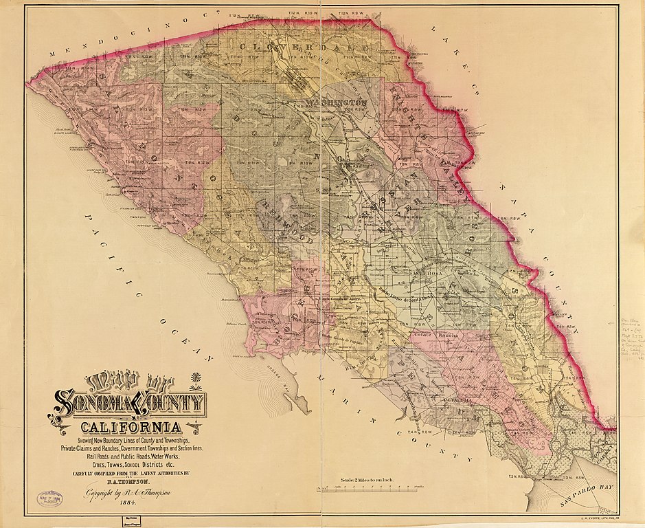
English: Relief shown by hachures and spot heights. Available also through the Library of Congress Web site as a raster image. |
||
| Title | Map of Sonoma County, California : showing new boundary lines of county and townships, private claims and ranches, government townships and section lines, rail roads and public roads, water works, cities, towns, school districts, etc. | ||
| Shelf ID | G4363.S75 1884 .T4 | ||
| Date | |||
| Source | https://www.loc.gov/item/2009582415/ | ||
| Author | Thompson, R. A. | ||
| Permission (Reusing this file) |
|
||
| Other versions |
|
||
| Location | United States · Sonoma County · Sonoma County. · United States · California · California | ||
| Part of | American Memory · General Maps · Catalog · Geography And Map Division | ||
| Subject | United States · Sonoma County (Ca.) · California · Sonoma County · Maps |


Licensing
edit
|
This is a faithful photographic reproduction of a two-dimensional, public domain work of art. The work of art itself is in the public domain for the following reason:
The official position taken by the Wikimedia Foundation is that "faithful reproductions of two-dimensional public domain works of art are public domain".
This photographic reproduction is therefore also considered to be in the public domain in the United States. In other jurisdictions, re-use of this content may be restricted; see Reuse of PD-Art photographs for details. | ||||
File history
Click on a date/time to view the file as it appeared at that time.
| Date/Time | Thumbnail | Dimensions | User | Comment | |
|---|---|---|---|---|---|
| current | 13:42, 19 July 2018 | | 10,882 × 8,898 (12.67 MB) | Fæ (talk | contribs) | LOC Maps https://www.loc.gov/item/2009582415/ #4548 |
You cannot overwrite this file.
File usage on Commons
The following page uses this file: