File:Map of the central portion of the City of London Wellcome L0005006.jpg

Original file (1,640 × 1,228 pixels, file size: 948 KB, MIME type: image/jpeg)
Captions
Captions
Summary edit
| Map of the central portion of the City of London | |||
|---|---|---|---|
| Title |
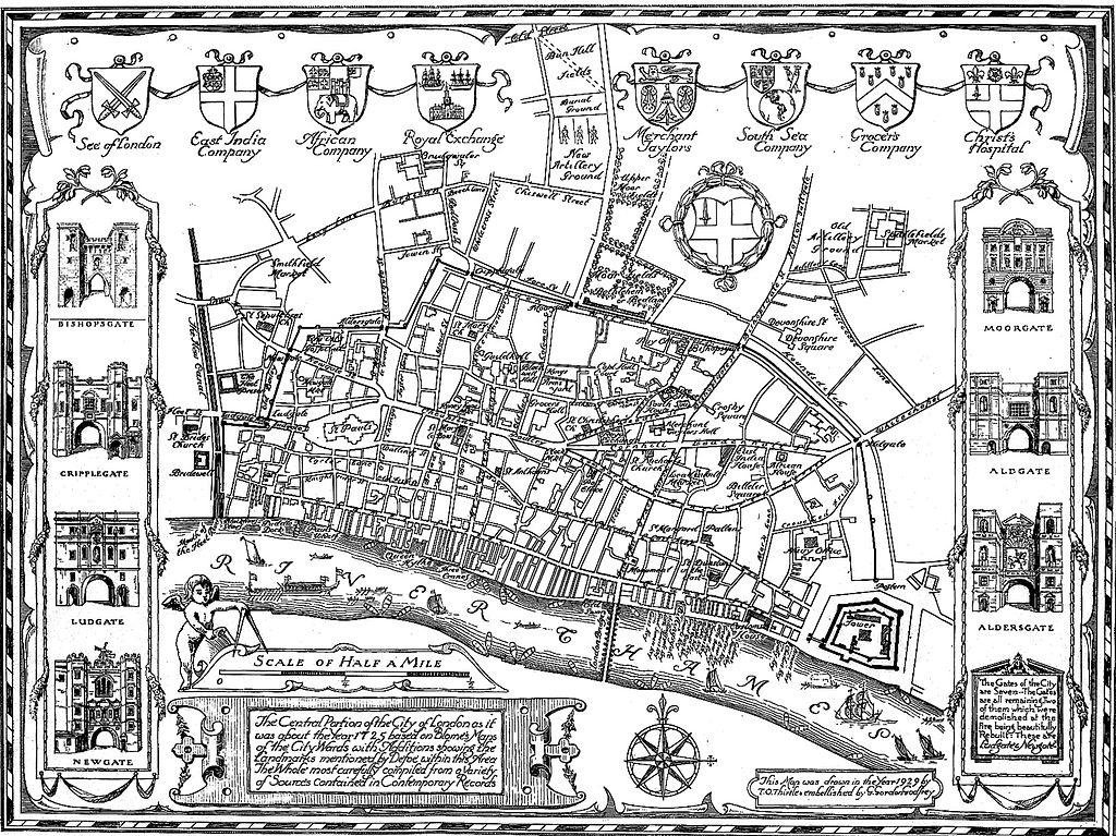
Map of the central portion of the City of London |
||
| Description |
Map of the central portion of the City of London General Collections |
||
| Credit line |
|
||
| References |
|
||
| Source/Photographer |
https://wellcomeimages.org/indexplus/obf_images/e8/fc/ae4121cf0da6181e01ee0e1f8a54.jpg
|
||
| Other versions |
    |
||
Licensing edit
- You are free:
- to share – to copy, distribute and transmit the work
- to remix – to adapt the work
- Under the following conditions:
- attribution – You must give appropriate credit, provide a link to the license, and indicate if changes were made. You may do so in any reasonable manner, but not in any way that suggests the licensor endorses you or your use.
File history
Click on a date/time to view the file as it appeared at that time.
| Date/Time | Thumbnail | Dimensions | User | Comment | |
|---|---|---|---|---|---|
| current | 05:06, 3 October 2014 | | 1,640 × 1,228 (948 KB) | Fæ (talk | contribs) | =={{int:filedesc}}== {{Artwork |artist = |author = |title = Map of the central portion of the City of London |description = Map of the central portion of the City of London <p>General Collections<br> Keywords... |
You cannot overwrite this file.
File usage on Commons
The following 5 pages use this file:
- File:A plan delineating Defoe's circuit. Wellcome L0005007.jpg
- File:Hyde Park Corner as it was in the middle of the 18th century Wellcome L0005014.jpg
- File:Map of the central portion of the City of London Wellcome L0005006.jpg
- File:Plan of the parish of St. George's, Hanover Square Wellcome L0005008.jpg
- File:The mouth of the River Fleet, as in 1725 Wellcome L0005015.jpg