File:Partie du Ct. Sentis et Autriche anterieure. NYPL3979938.tiff

Size of this JPG preview of this TIF file: 800 × 599 pixels. Other resolutions: 320 × 240 pixels | 640 × 480 pixels | 1,024 × 767 pixels | 1,280 × 959 pixels | 2,560 × 1,918 pixels | 8,984 × 6,732 pixels.

Original file (8,984 × 6,732 pixels, file size: 173.31 MB, MIME type: image/tiff, 2 pages)
Captions
Captions
Add a one-line explanation of what this file represents
Summary
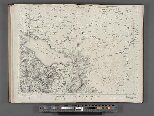
edit| Description | Partie du Ct. Sentis et Autriche anterieure.; Maps of Europe / Countries / Switzerland / Atlas Suisse. Levé et dessiné par J. H. Weiss aux fraix de J. R. Meyer á Aarau dans les années 1786 á 1802. Gravée par Guerin, Eichler, et Scheurmann. | |||||||||||||||||||||||
| Catalogue call number | Map Div.+++ (Switzerland. 1786-1802) (Weiss, J. H. Atlas suisse) | |||||||||||||||||||||||
| Item/Page/Plate | 4 | |||||||||||||||||||||||
| Date | ||||||||||||||||||||||||
| Source |
http://digitalgallery.nypl.org/nypldigital/dgkeysearchdetail.cfm?imageID=3979938
|
|||||||||||||||||||||||
| Author | ||||||||||||||||||||||||
| Permission (Reusing this file) |
From The Lionel Pincus and Princess Firyal Map Division. http://maps.nypl.org
|
|||||||||||||||||||||||
| Source description | 17 double maps. some col. 58 cm. | |||||||||||||||||||||||
| Location | Stephen A. Schwarzman Building / The Lionel Pincus and Princess Firyal Map Division | |||||||||||||||||||||||
| Digital item published | 1-12-2012 | |||||||||||||||||||||||
| Digital ID | 3979938 | |||||||||||||||||||||||

The making of this file was supported by Wikimedia UK.
To see other files made with the support of Wikimedia UK, please see the category Supported by Wikimedia UK.
|
File history
Click on a date/time to view the file as it appeared at that time.
| Date/Time | Thumbnail | Dimensions | User | Comment | |
|---|---|---|---|---|---|
| current | 09:07, 3 May 2014 |  | 8,984 × 6,732, 2 pages (173.31 MB) | Fæ (talk | contribs) | GWToolset:: Creating mediafile for Fæ. Tranche 3 11591-16518 @ 2 May, 06:47 BST |
You cannot overwrite this file.
File usage on Commons
There are no pages that use this file.