File:QR5 wind turbine, lowered.jpg

Size of this preview: 800 × 491 pixels. Other resolutions: 320 × 196 pixels | 640 × 393 pixels | 1,024 × 628 pixels | 1,280 × 785 pixels | 3,303 × 2,026 pixels.
Original file (3,303 × 2,026 pixels, file size: 1.03 MB, MIME type: image/jpeg)
Captions
Captions
Add a one-line explanation of what this file represents
Summary
edit
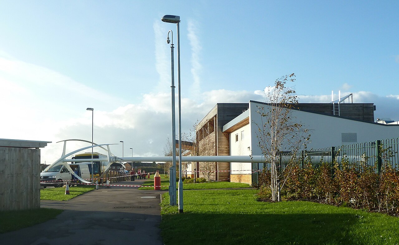
| Description | quietrevolution qr5 vertical-axis wind turbine, lowered for maintenance. This is the turbine installed at Rogiet primary school. |
| Date | |
| Source | Own work |
| Author | Andy Dingley |
| Permission (Reusing this file) |
I, the copyright holder of this work, hereby publish it under the following license: This file is licensed under the Creative Commons Attribution-Share Alike 3.0 Unported license.
|
| Other versions |
 |
File history
Click on a date/time to view the file as it appeared at that time.
| Date/Time | Thumbnail | Dimensions | User | Comment | |
|---|---|---|---|---|---|
| current | 00:15, 7 November 2011 | | 3,303 × 2,026 (1.03 MB) | Andy Dingley (talk | contribs) | == Summary == {{Information |Description= quietrevolution qr5 vertical-axis wind turbine, lowered for maintenance. This is the turbine installed at Rogiet primary school. |Source={{own}} |Author=[[User: |
You cannot overwrite this file.
File usage on Commons
There are no pages that use this file.
File usage on other wikis
The following other wikis use this file:
- Usage on en.wikipedia.org