File:Southwest Arkansas resource conservation and development - Calhoun, Clark, Columbia, Dallas, Hempstead, Howard, Lafayette, Little River, Miller, Nevada, Ouachita, Pike, Sevier, and Union counties, LOC 93682957.jpg
Size of this preview: 800 × 486 pixels. Other resolutions: 320 × 194 pixels | 640 × 389 pixels | 1,024 × 622 pixels | 1,280 × 777 pixels | 2,560 × 1,555 pixels | 5,394 × 3,276 pixels.
Original file (5,394 × 3,276 pixels, file size: 1.2 MB, MIME type: image/jpeg)
Captions
Captions
Add a one-line explanation of what this file represents
Summary
edit| Description |
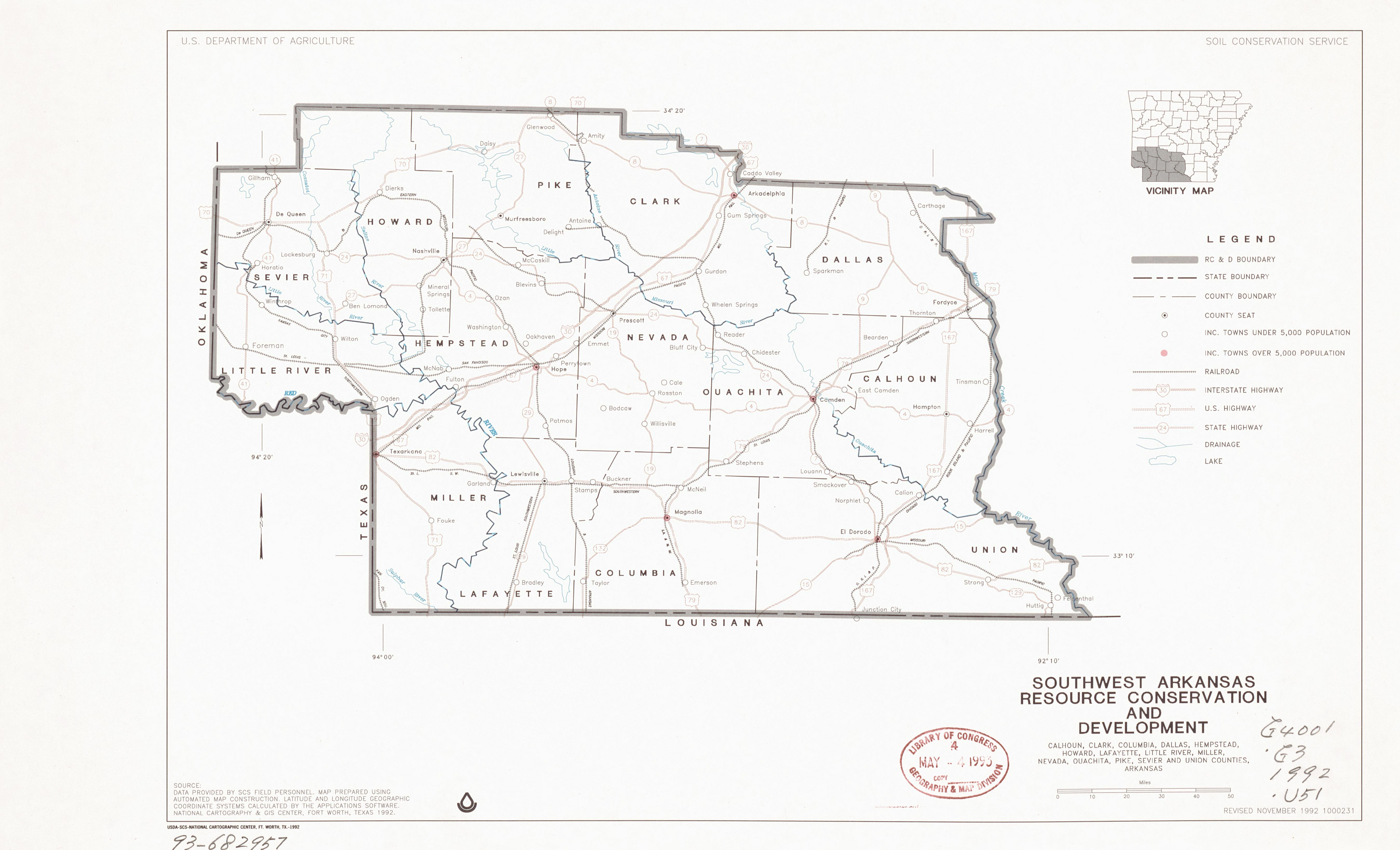
English: "1000231." Shows RC&D, state and county boundaries and other features. Includes location map and source materials note. Available also through the Library of Congress Web site as a raster image. |
||
| Title | Southwest Arkansas resource conservation and development : Calhoun, Clark, Columbia, Dallas, Hempstead, Howard, Lafayette, Little River, Miller, Nevada, Ouachita, Pike, Sevier, and Union counties, Arkansas | ||
| Shelf ID | G4001.G3 1992 .U51 | ||
| Date | |||
| Source | https://www.loc.gov/item/93682957/ | ||
| Author | United States. Soil Conservation Service; National Cartographic Center (U.S.) | ||
| Permission (Reusing this file) |
|
||
| Other versions |
|
||
| Location | United States · Arkansas. · Arkansas | ||
| Part of | American Memory · Catalog · Geography And Map Division · Additional Conservation And Environment Cartographic Items | ||
| Subject | Regional Planning Districts · Maps · Conservation Of Natural Resources · Arkansas · United States |


Licensing
edit
This work is in the public domain in the United States because it is a work prepared by an officer or employee of the United States Government as part of that person’s official duties under the terms of Title 17, Chapter 1, Section 105 of the US Code.
Note: This only applies to original works of the Federal Government and not to the work of any individual U.S. state, territory, commonwealth, county, municipality, or any other subdivision. This template also does not apply to postage stamp designs published by the United States Postal Service since 1978. (See § 313.6(C)(1) of Compendium of U.S. Copyright Office Practices). It also does not apply to certain US coins; see The US Mint Terms of Use.
|
 | |
| This file has been identified as being free of known restrictions under copyright law, including all related and neighboring rights. | ||
File history
Click on a date/time to view the file as it appeared at that time.
| Date/Time | Thumbnail | Dimensions | User | Comment | |
|---|---|---|---|---|---|
| current | 00:42, 1 January 2019 | | 5,394 × 3,276 (1.2 MB) | Fæ (talk | contribs) | LOC Maps https://www.loc.gov/item/93682957/ #28788 |
You cannot overwrite this file.
File usage on Commons
The following page uses this file: